Transport Functions
Rail
Road
Hub Profile
Place type
Local administrative seat
Region
Brandenburg
Population
2,875
Time zone
Europe/Berlin
Elevation
54 m
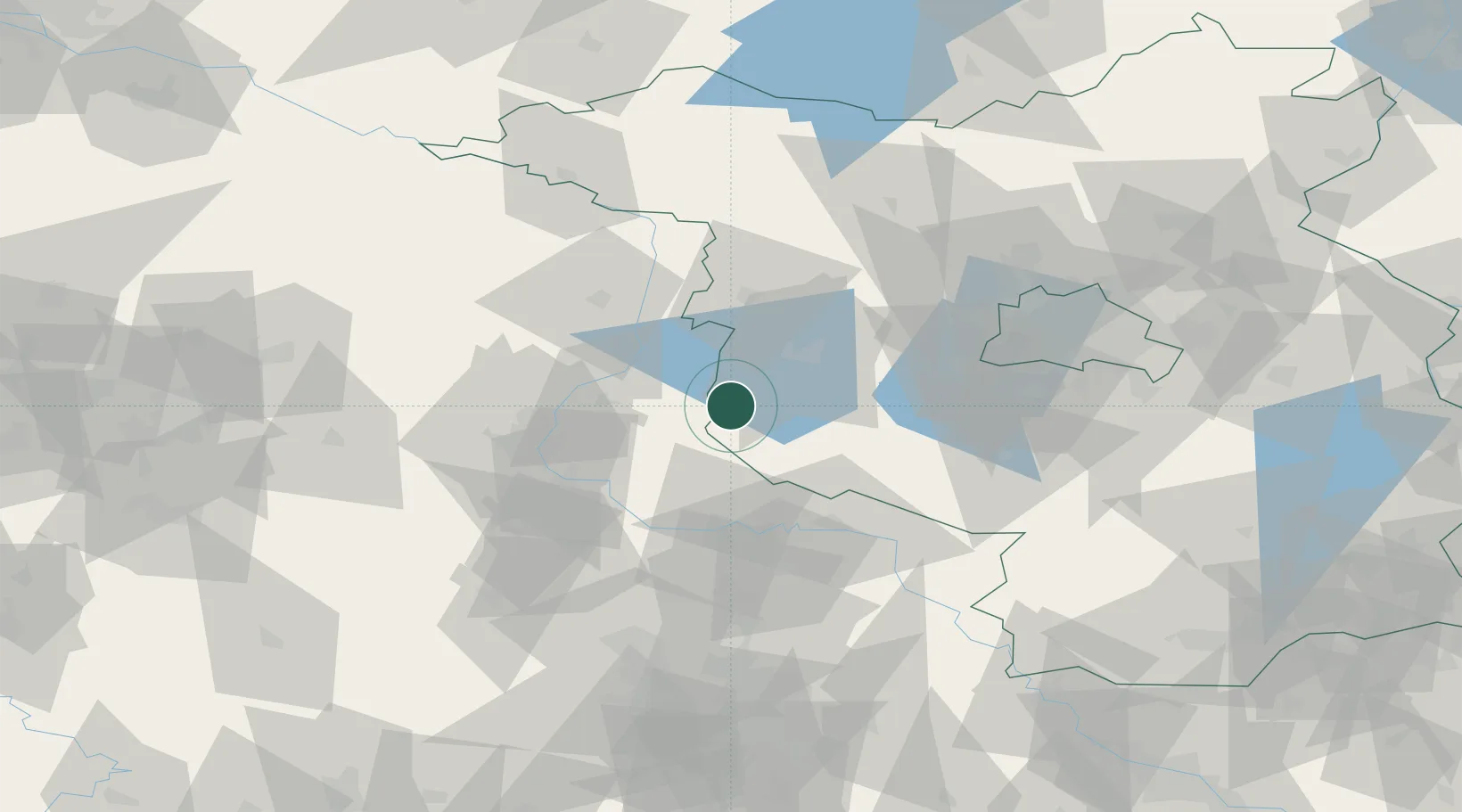
Location
Nearby Logistics Neighbours
Cities
- 1Bücknitz2 km
- 2Schopsdorf6 km
- 3Rogäsen9 km
- 4Kirchmöser14 km
- 5Genthin15 km
Airports
- 1Zerbst Airfield31 km
- 2Holzdorf Air Base82 km
- 3Berlin Brandenburg Airport84 km
- 4Leipzig/Halle Airport94 km
- 5Braunschweig-Wolfsburg Airport118 km
Trade Zones
- 1Kostrzyń-Słubice SEZ164 km
- 2Szczecin Duty Free Zone200 km
- 3Most - Joseph Industrial Zone219 km
- 4Swinoujscie Duty Free Zone225 km
- 5Žatec - Triangle Strategic Industrial Zone225 km
DatabookThe Record of Consolidated Knowledge
Germany beyond logistics?