Transport Functions
Port
Road
Hub Profile
Place type
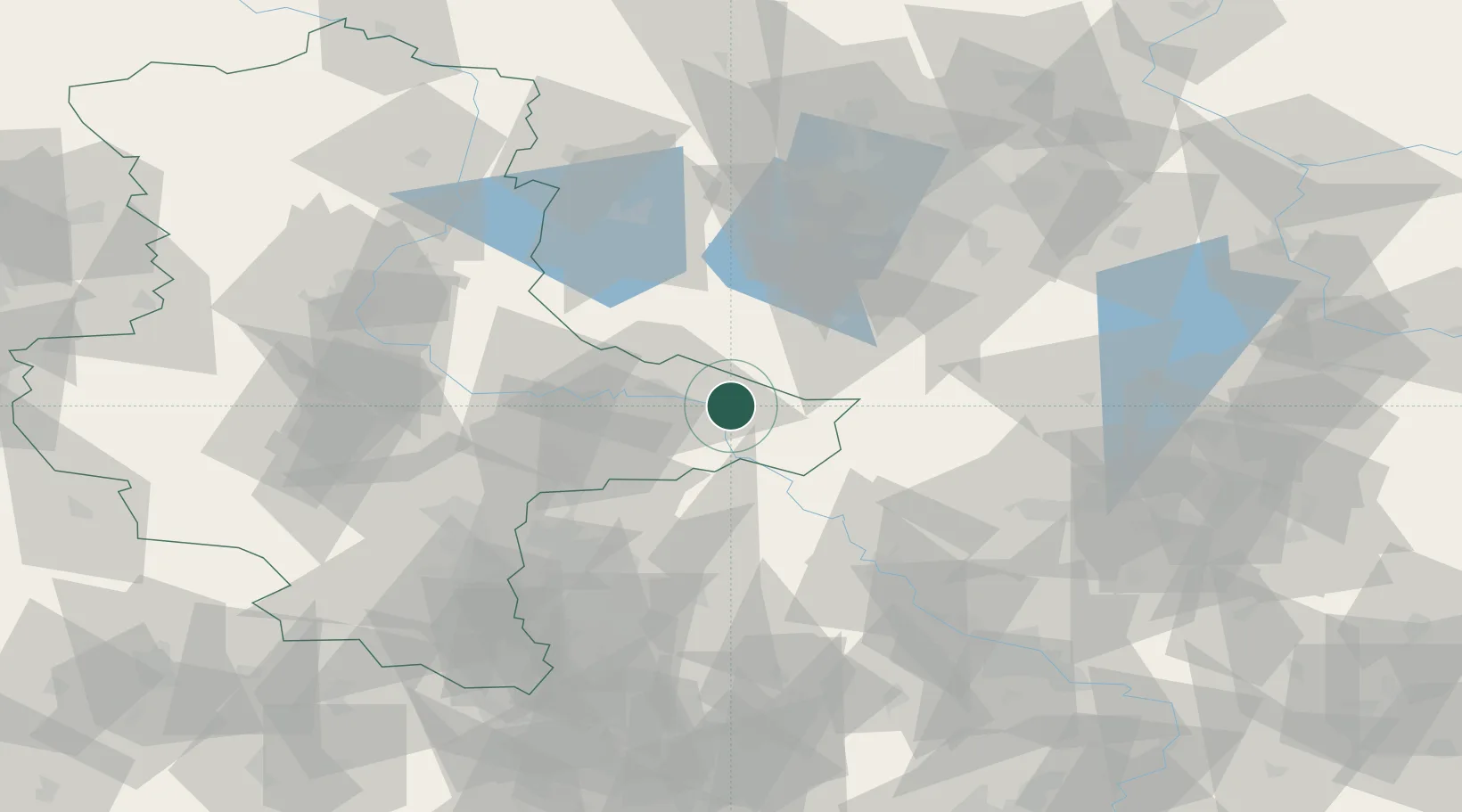
Populated place
Region
Saxony-Anhalt
Population
2,638
Time zone
Europe/Berlin
Elevation
72 m
Location
Nearby Logistics Neighbours
Cities
- 1Gallin6 km
- 2Jessen10 km
- 3Zahna10 km
- 4Lutherstadt Wittenberg13 km
- 5Pretzsch (Elbe)13 km
Ports
- 1Szczecin211 km
- 2Police225 km
- 3Wismar247 km
- 4Swinoujscie251 km
- 5Wolgast255 km
Airports
- 1Holzdorf Air Base24 km
- 2Zerbst Airfield51 km
- 3Leipzig/Halle Airport62 km
- 4Berlin Brandenburg Airport74 km
- 5Leipzig–Altenburg Airport97 km
Trade Zones
- 1Kostrzyń-Słubice SEZ150 km
- 2Most - Joseph Industrial Zone160 km
- 3Žatec - Triangle Strategic Industrial Zone167 km
- 4Podbořany Industrial Zone183 km
- 5Szczecin Duty Free Zone212 km
DatabookThe Record of Consolidated Knowledge
Germany beyond logistics?