Transport Functions
Port
Multimodal
Hub Profile
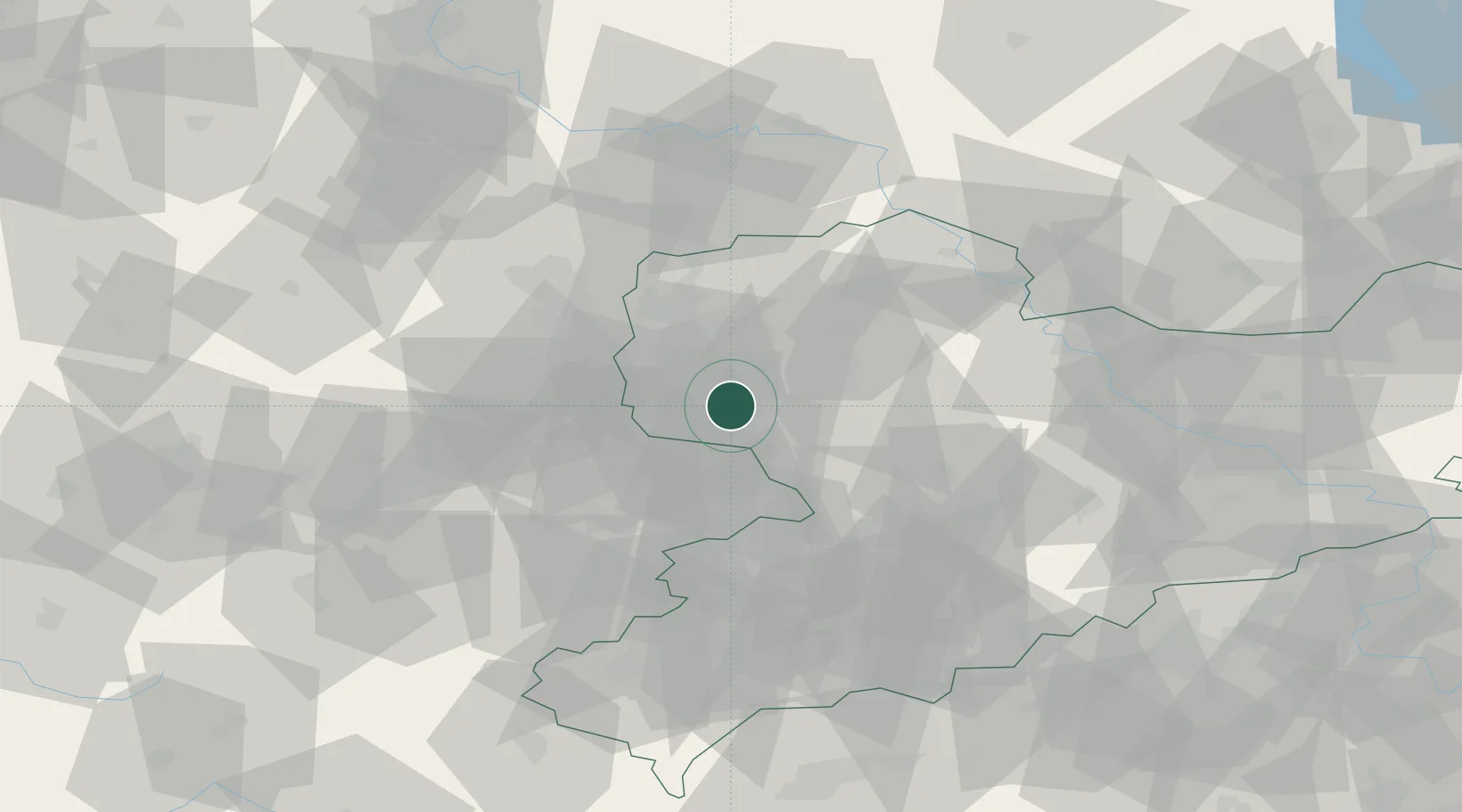
Place type
Local administrative seat
Region
Saxony
Population
3,602
Time zone
Europe/Berlin
Elevation
144 m
Location
Nearby Logistics Neighbours
Airports
- 1Leipzig–Altenburg Airport21 km
- 2Leipzig/Halle Airport32 km
- 3Holzdorf Air Base84 km
- 4Dresden Airport93 km
- 5Zerbst Airfield95 km
Trade Zones
DatabookThe Record of Consolidated Knowledge
Germany beyond logistics?