Medium airport · Germany
Bamberg-Breitenau AirfieldEDQA
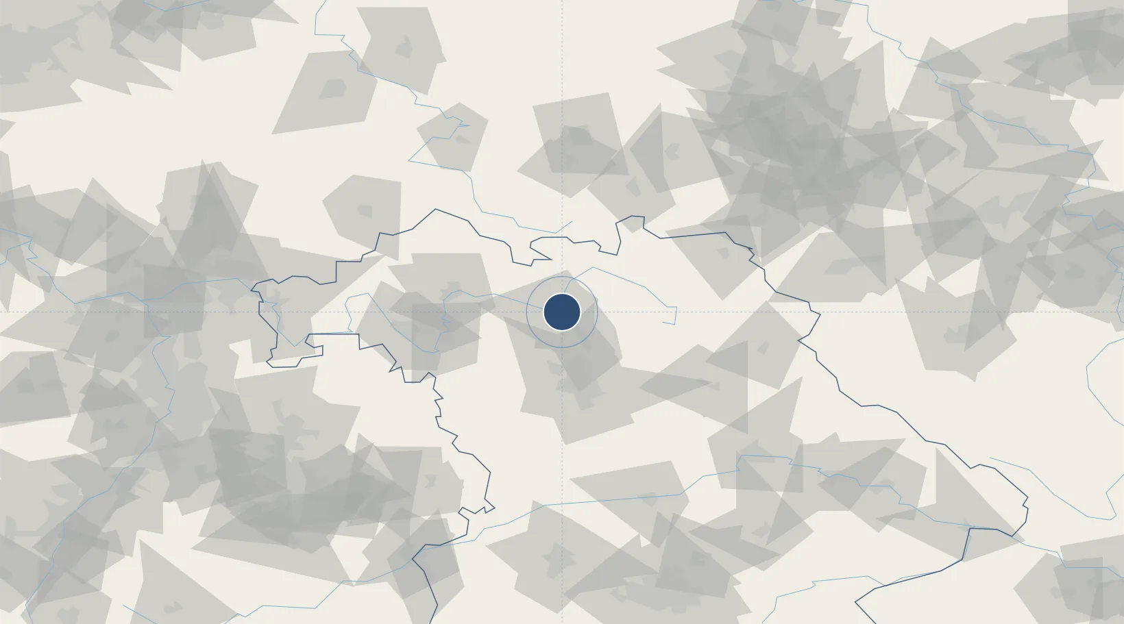
49.9204°, 10.9142°
4,111 ft
Longest runway
1
Runways
811 ft
Elevation
Runway & Layout

Radio Frequencies
ATIS
124.13 MHz
Bamberg ATIS
AFIS
125.8 MHz
Langen Information
INFORMATION
123.44 MHz
Bamberg INFORMATION
Runways · 1
| Runway | Dimensions | Surface | True heading | Lit |
|---|---|---|---|---|
| 03/21 | 4,111 × 75ft | ASPH | 032° | ✓ |
Airport Specifications
ICAO code
EDQA
Airport class
Medium airport
Scheduled service
No
Runway surface
ASPH
Served city
Bamberg
Location
Nearby Logistics Neighbours
Airports
- 1Nuremberg Airport48 km
- 2Bayreuth Airport52 km
- 3Grafenwöhr Army Air Field78 km
- 4Hof-Plauen Airport79 km
- 5Niederstetten Army Air Base91 km
Cities
- 1Bamberg3 km
- 2Breitenguessbach5 km
- 3Oberhaid7 km
- 4Zapfendorf13 km
- 5Hirschaid14 km
Trade Zones
- 1Podbořany Industrial Zone181 km
- 2Freeport of Deggendorf187 km
- 3Žatec - Triangle Strategic Industrial Zone193 km
- 4Most - Joseph Industrial Zone204 km
- 5ZFU Neuhof276 km
DatabookThe Record of Consolidated Knowledge
Germany beyond logistics?