Transport Functions
Road
Multimodal
Hub Profile
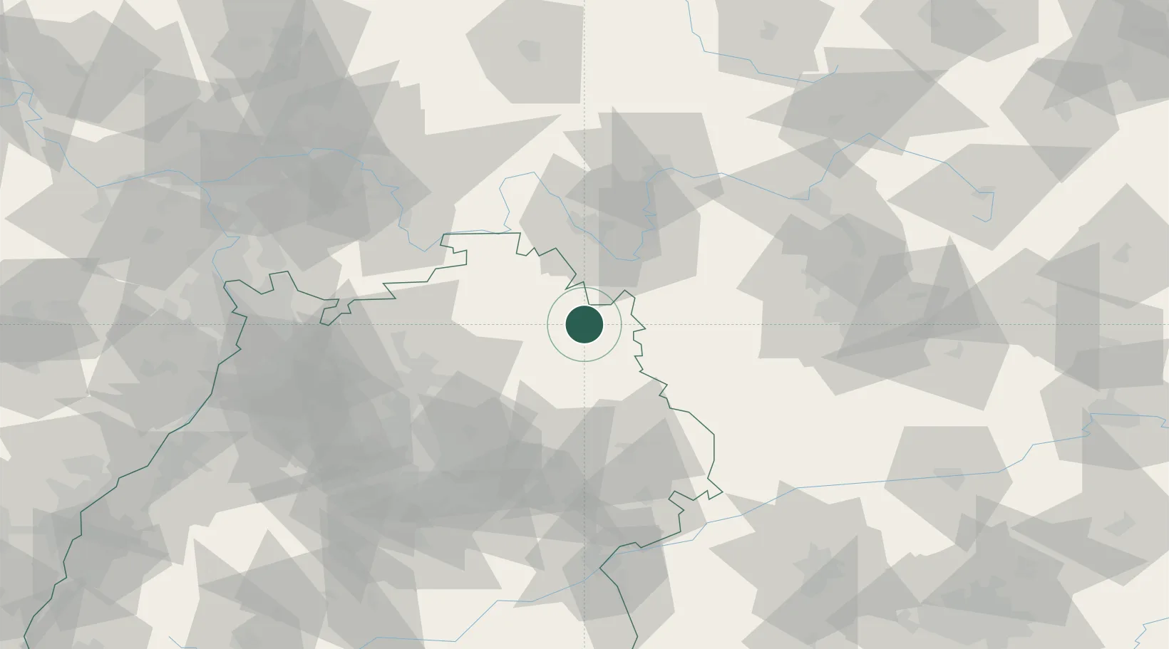
Place type
Populated place
Region
Baden-Wurttemberg
Population
5,496
Time zone
Europe/Berlin
Elevation
311 m
Location
Nearby Logistics Neighbours
Cities
- 1Schrozberg8 km
- 2Weikersheim9 km
- 3Mulfingen12 km
- 4Igersheim13 km
- 5Insingen21 km
Airports
- 1Niederstetten Army Air Base3 km
- 2Adolf Würth Airport33 km
- 3Nuremberg Airport85 km
- 4Bamberg-Breitenau Airfield92 km
- 5Stuttgart Airport94 km
Trade Zones
- 1ZFU Neuhof184 km
- 2ZFU Hautepierre185 km
- 3ZFU La Cité Behren-lès-Forbach218 km
- 4ZFU Mulhouse264 km
- 5Luxembourg Free Port268 km
DatabookThe Record of Consolidated Knowledge
Germany beyond logistics?