Transport Functions
Rail
Road
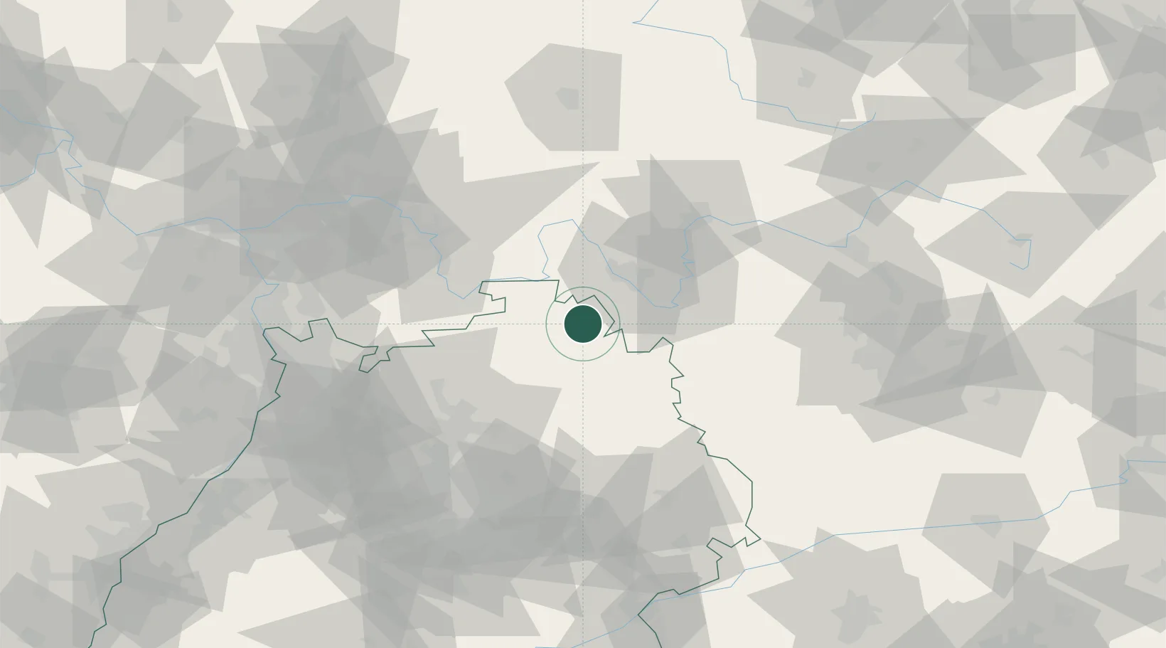
Hub Profile
Place type
Populated place
Region
Baden-Wurttemberg
Population
3,799
Time zone
Europe/Berlin
Elevation
245 m
Location
Nearby Logistics Neighbours
Cities
- 1Grossrinderfeld6 km
- 2Werbach11 km
- 3Igersheim12 km
- 4Boxberg16 km
- 5Weikersheim17 km
Airports
- 1Niederstetten Army Air Base28 km
- 2Adolf Würth Airport54 km
- 3Frankfurt-Egelsbach Airport89 km
- 4Mannheim-City Airport90 km
- 5Bamberg-Breitenau Airfield91 km
Trade Zones
- 1ZFU Neuhof187 km
- 2ZFU Hautepierre187 km
- 3ZFU La Cité Behren-lès-Forbach210 km
- 4Luxembourg Free Port254 km
- 5ZFU Woippy-Metz265 km
DatabookThe Record of Consolidated Knowledge
Germany beyond logistics?