Transport Functions
Port
Rail
Road
Hub Profile
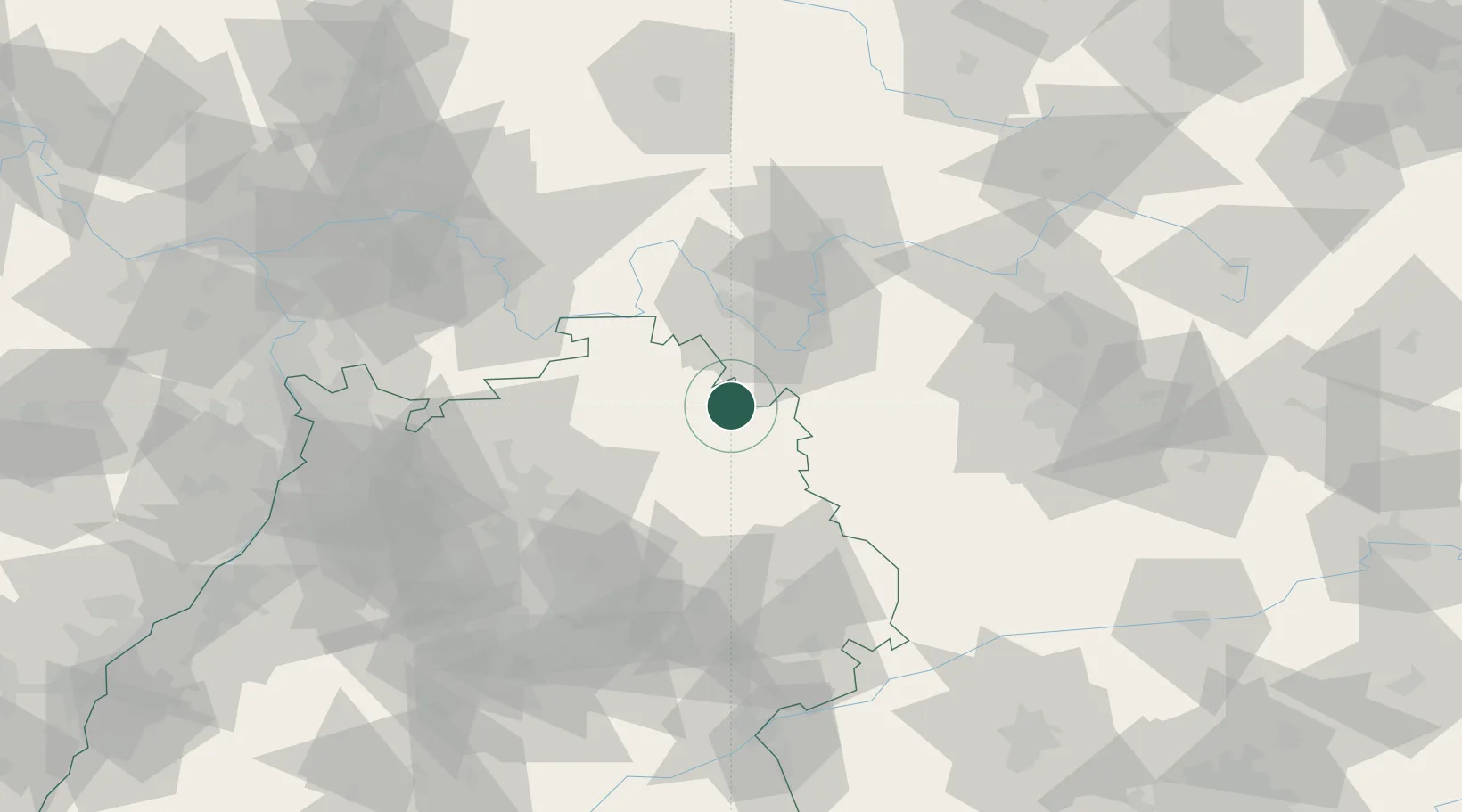
Place type
Populated place
Region
Baden-Wurttemberg
Population
7,569
Time zone
Europe/Berlin
Elevation
237 m
Location
Nearby Logistics Neighbours
Cities
- 1Igersheim6 km
- 2Niederstetten9 km
- 3Grünsfeld17 km
- 4Schrozberg17 km
- 5Gaukönigshofen18 km
Airports
- 1Niederstetten Army Air Base11 km
- 2Adolf Würth Airport42 km
- 3Nuremberg Airport85 km
- 4Bamberg-Breitenau Airfield88 km
- 5Mannheim-City Airport100 km
Trade Zones
- 1ZFU Neuhof188 km
- 2ZFU Hautepierre189 km
- 3ZFU La Cité Behren-lès-Forbach218 km
- 4Luxembourg Free Port266 km
- 5ZFU Mulhouse270 km
DatabookThe Record of Consolidated Knowledge
Germany beyond logistics?