Transport Functions
Road
Multimodal
Hub Profile
Place type
Populated place
Region
North Rhine-Westphalia
Time zone
Europe/Berlin
Elevation
88 m
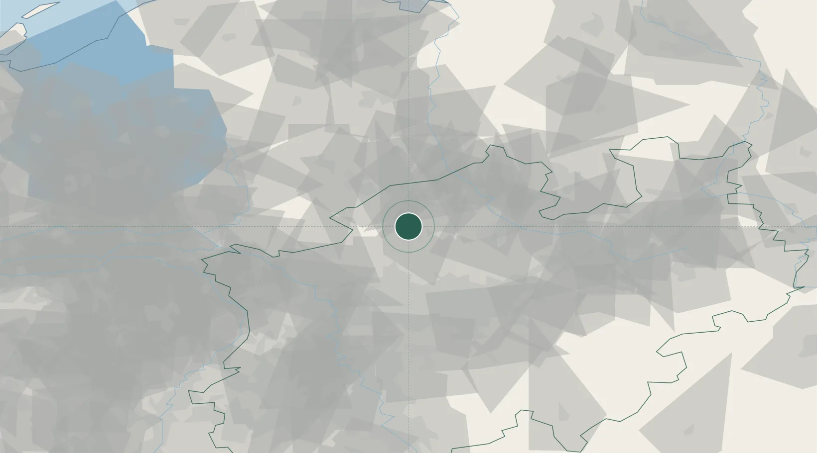
Location
Nearby Logistics Neighbours
Cities
- 1Billerbeck12 km
- 2Horstmar16 km
- 3Karthaus19 km
- 4Gronau25 km
- 5Wettringen26 km
Airports
- 1Twente Airport35 km
- 2Münster Osnabrück Airport41 km
- 3Dortmund Airport63 km
- 4Weeze (Niederrhein) Airport81 km
- 5Düsseldorf Airport83 km
Trade Zones
DatabookThe Record of Consolidated Knowledge
Germany beyond logistics?