Transport Functions
Port
Multimodal
Hub Profile
Region
RP
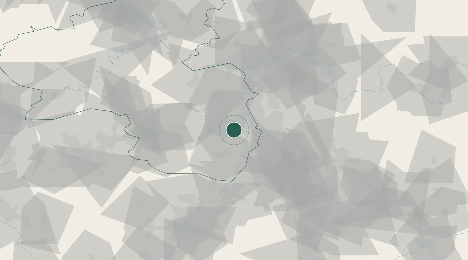
Location
Nearby Logistics Neighbours
Cities
- 1Ellerstadt2 km
- 2Friedelsheim2 km
- 3Rodersheim-Gronau4 km
- 4Fussgönheim5 km
- 5Deidesheim5 km
Airports
- 1Mannheim-City Airport20 km
- 2Ramstein Air Base47 km
- 3Mainz-Finthen Airfield60 km
- 4Frankfurt-Egelsbach Airport65 km
- 5Wiesbaden Army Airfield69 km
Trade Zones
- 1ZFU La Cité Behren-lès-Forbach100 km
- 2ZFU Hautepierre102 km
- 3ZFU Neuhof105 km
- 4Luxembourg Free Port148 km
- 5ZFU Woippy-Metz156 km
DatabookThe Record of Consolidated Knowledge
Germany beyond logistics?