Transport Functions
Rail
Road
Hub Profile
Place type
Local administrative seat
Region
Rheinland-Pfalz
Population
1,499
Time zone
Europe/Berlin
Elevation
123 m
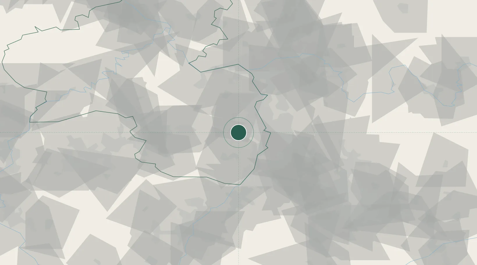
Location
Nearby Logistics Neighbours
Cities
- 1Rödersheim2 km
- 2Ellerstadt3 km
- 3Deidesheim3 km
- 4Rodersheim-Gronau4 km
- 5Kallstadt7 km
Airports
- 1Mannheim-City Airport22 km
- 2Ramstein Air Base45 km
- 3Mainz-Finthen Airfield60 km
- 4Frankfurt-Egelsbach Airport66 km
- 5Wiesbaden Army Airfield69 km
Trade Zones
- 1ZFU La Cité Behren-lès-Forbach98 km
- 2ZFU Hautepierre101 km
- 3ZFU Neuhof105 km
- 4Luxembourg Free Port146 km
- 5ZFU Woippy-Metz153 km
DatabookThe Record of Consolidated Knowledge
Germany beyond logistics?