Transport Functions
Multimodal
Hub Profile
Place type
Local administrative seat
Region
Schleswig-Holstein
Population
858
Time zone
Europe/Berlin
Elevation
13 m
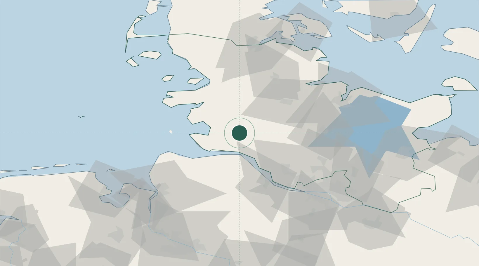
Location
Nearby Logistics Neighbours
Cities
- 1Nienbüttel10 km
- 2Ecklak11 km
- 3Sankt Michaelisdonn12 km
- 4Sankt Margarethen17 km
- 5Hemmingstedt17 km
Ports
- 1Brunsbuttel Elbahafen20 km
- 2Itzehoe22 km
- 3Busum28 km
- 4Gluckstadt31 km
- 5Neuhaus32 km
Airports
Trade Zones
DatabookThe Record of Consolidated Knowledge
Germany beyond logistics?