Transport Functions
Multimodal
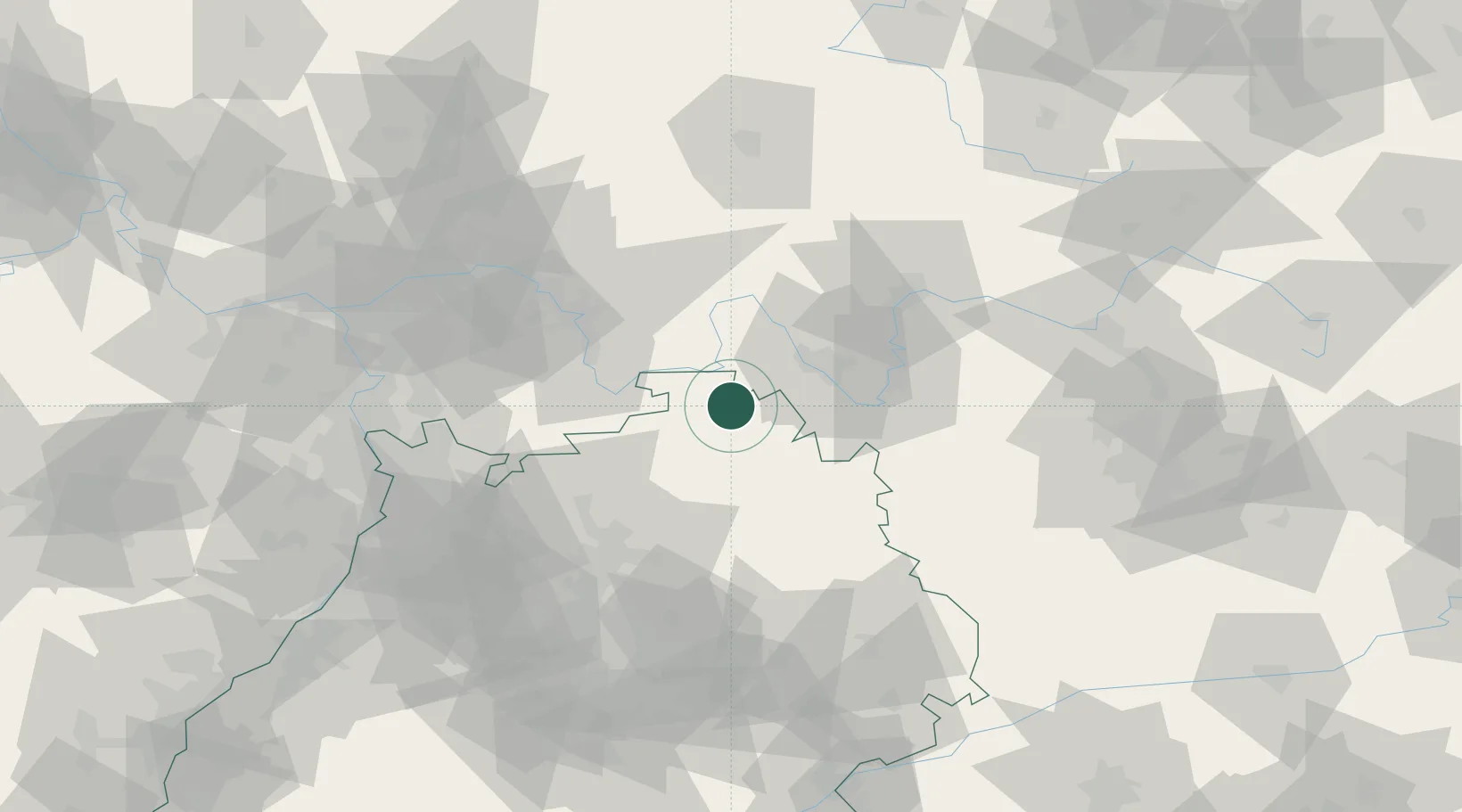
Hub Profile
Place type
Local administrative seat
Region
Baden-Wurttemberg
Population
3,589
Time zone
Europe/Berlin
Elevation
186 m
Location
Nearby Logistics Neighbours
Cities
- 1Grossrinderfeld9 km
- 2Grünsfeld11 km
- 3Höpfingen16 km
- 4Erlenbach bei Marktheidenfeld17 km
- 5Hasloch17 km
Airports
- 1Niederstetten Army Air Base39 km
- 2Adolf Würth Airport62 km
- 3Frankfurt-Egelsbach Airport78 km
- 4Mannheim-City Airport84 km
- 5Frankfurt Main Airport87 km
Trade Zones
- 1ZFU Hautepierre185 km
- 2ZFU Neuhof185 km
- 3ZFU La Cité Behren-lès-Forbach203 km
- 4Luxembourg Free Port246 km
- 5ZFU Woippy-Metz259 km
DatabookThe Record of Consolidated Knowledge
Germany beyond logistics?