UN/LOCODE hub · Germany
DEGZD

Grossrinderfeld

49.6500°, 9.7500°
4,179
Population
1
Transport functions

Transport Functions

Multimodal
UN/LOCODE

Hub Profile

Place type
Local administrative seat
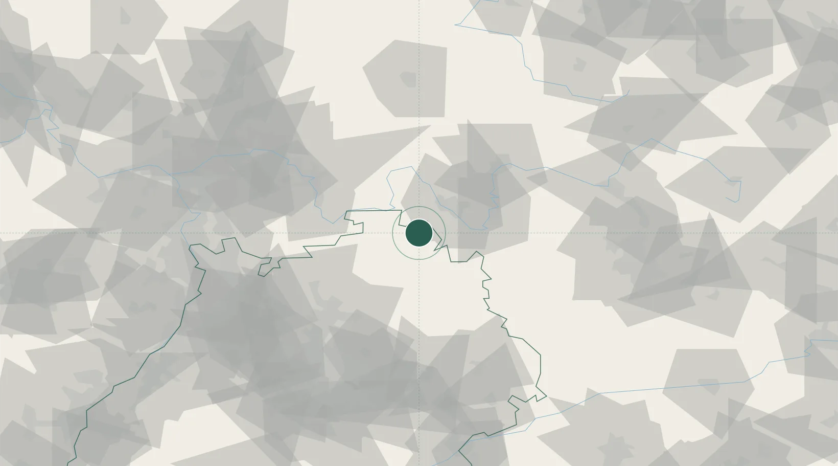
GeoNames
Region
Baden-Wurttemberg
GeoNames
Population
4,179
GeoNames
Time zone
Europe/Berlin
GeoNames
Elevation
311 m
GeoNames

Location

Location of DEGZD
Natural Earth 10m (public domain) · Baden-Wurttemberg · DEGZD · 49.65, 9.75GoogleOSMYandex

Nearby Logistics Neighbours

Cities
  1. 1Grünsfeld6 km
  2. 2Werbach9 km
  3. 3Waldbüttelbrunn16 km
  4. 4Höchberg17 km
  5. 5Igersheim17 km
Nearest neighbours — logibook spatial index (haversine) over the source coordinates
Ports
  1. 1Bremen393 km
  2. 2Oldenburg400 km
  3. 3Bruxelles407 km
  4. 4Elsfleth408 km
  5. 5Antwerpen417 km
Nearest neighbours — logibook spatial index (haversine) over the source coordinates
Airports
  1. 1Niederstetten Army Air Base32 km
  2. 2Adolf Würth Airport59 km
  3. 3Frankfurt-Egelsbach Airport87 km
  4. 4Bamberg-Breitenau Airfield89 km
  5. 5Mannheim-City Airport91 km
Nearest neighbours — logibook spatial index (haversine) over the source coordinates
Trade Zones
  1. 1ZFU Neuhof190 km
  2. 2ZFU Hautepierre190 km
  3. 3ZFU La Cité Behren-lès-Forbach211 km
  4. 4Luxembourg Free Port254 km
  5. 5ZFU Woippy-Metz266 km
Nearest neighbours — logibook spatial index (haversine) over the source coordinates
DatabookThe Record of Consolidated Knowledge
Germany beyond logistics?
Browse databook

All Sources

LocationsUN/LOCODE
UN/LOCODE — free
LocationsGeoNames
CC BY 4.0
Portsthe NGA World Port Index
Public domain (US gov)
AirportsOurAirports
Public domain
Trade Zonesthe World Bank SEZ database
CC BY 4.0
Trade ZonesOpen Zone Map
CC BY
← Germany locations