Transport Functions
Rail
Road
Hub Profile
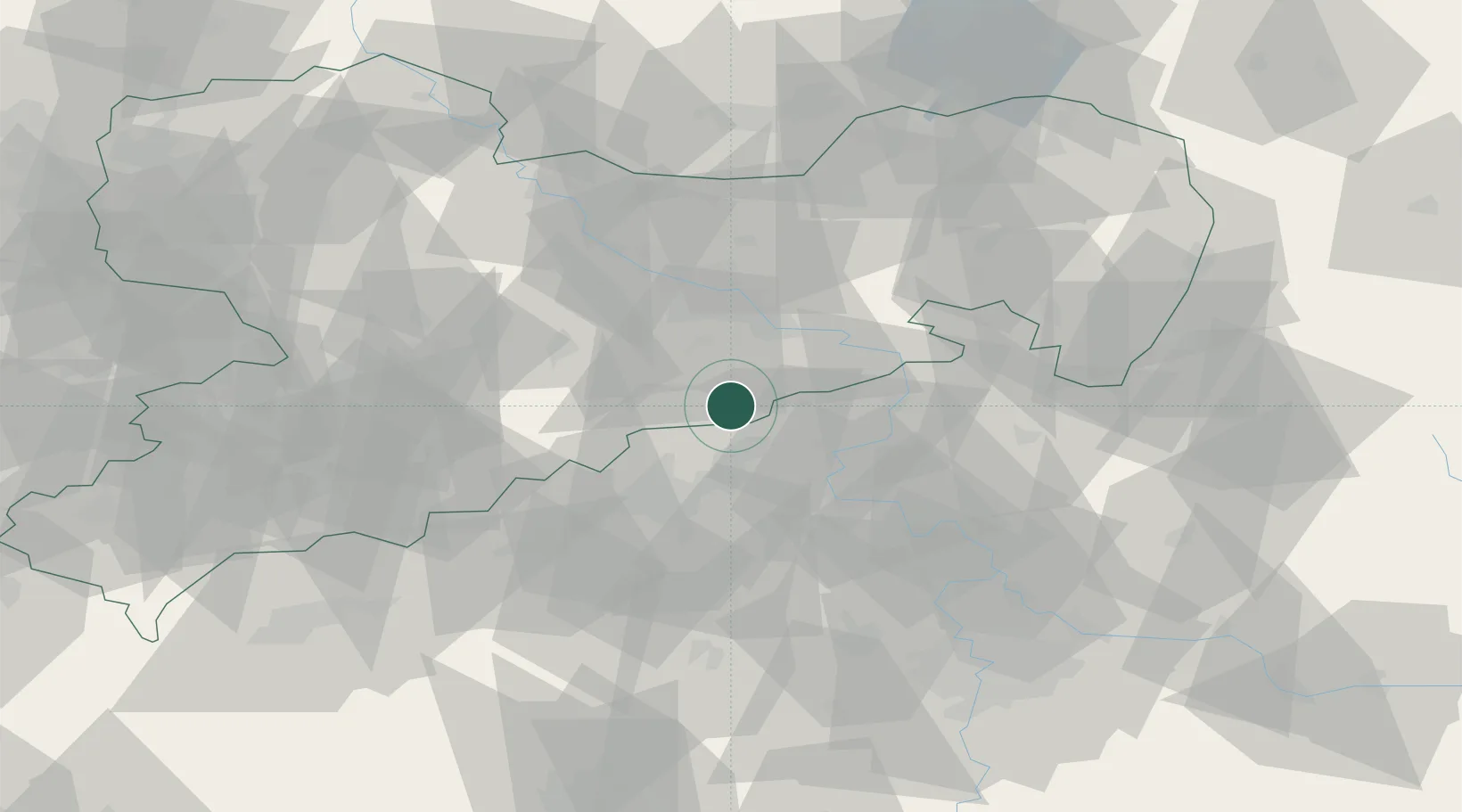
Place type
Populated place
Region
Saxony
Population
3,283
Time zone
Europe/Berlin
Elevation
600 m
Location
Nearby Logistics Neighbours
Cities
- 1Schmiedeberg12 km
- 2Telnice13 km
- 3Bad Gottleuba15 km
- 4Berggiesshübel15 km
- 5Bahretal15 km
Ports
- 1Szczecin299 km
- 2Police316 km
- 3Swinoujscie352 km
- 4Wolgast365 km
- 5Wismar382 km
Airports
- 1Dresden Airport41 km
- 2Vodochody Airport75 km
- 3Václav Havel Airport Prague81 km
- 4Karlovy Vary Airport88 km
- 5Prague–Kbely Air Base90 km
Trade Zones
DatabookThe Record of Consolidated Knowledge
Germany beyond logistics?