Transport Functions
Port
Rail
Road
Hub Profile
Region
SN
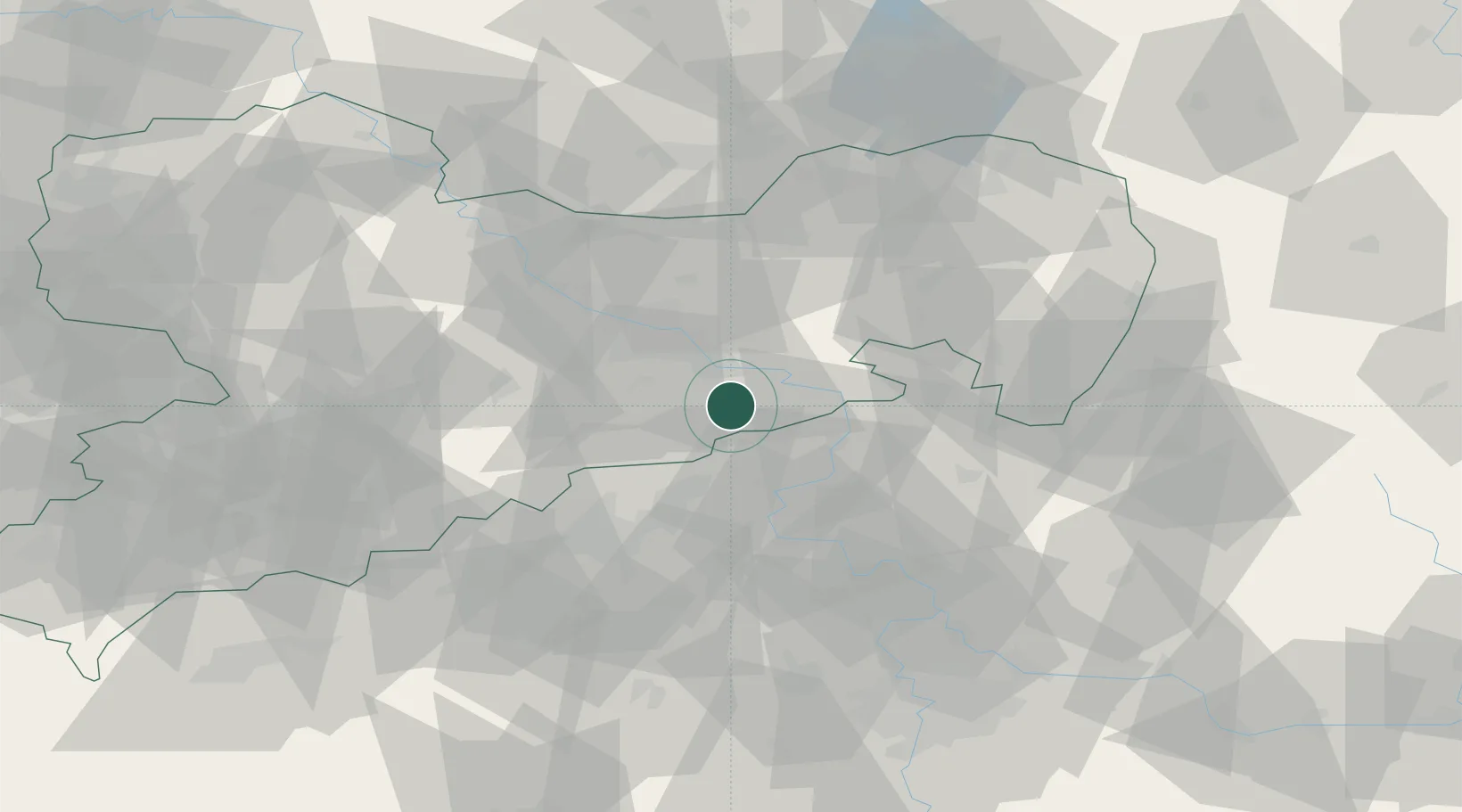
Location
Nearby Logistics Neighbours
Cities
- 1Bad Gottleuba2 km
- 2Bahretal3 km
- 3Müglitztal10 km
- 4Dohna10 km
- 5Copitz11 km
Ports
- 1Szczecin287 km
- 2Police303 km
- 3Swinoujscie340 km
- 4Wolgast354 km
- 5Wismar377 km
Airports
- 1Dresden Airport32 km
- 2Vodochody Airport79 km
- 3Václav Havel Airport Prague88 km
- 4Rothenburg/Görlitz Airfield90 km
- 5Prague–Kbely Air Base93 km
Trade Zones
DatabookThe Record of Consolidated Knowledge
Germany beyond logistics?