Transport Functions
Multimodal
Hub Profile
Place type
Populated place
Region
Ústecký kraj
Population
593
Time zone
Europe/Prague
Elevation
364 m
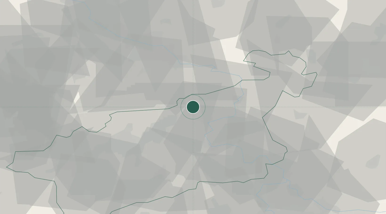
Location
Nearby Logistics Neighbours
Cities
- 1Trmice10 km
- 2Ustí nad Labem11 km
- 3Bad Gottleuba13 km
- 4Bynov13 km
- 5Geising13 km
Ports
- 1Szczecin301 km
- 2Police318 km
- 3Swinoujscie355 km
- 4Wolgast369 km
- 5Wismar391 km
Airports
- 1Dresden Airport47 km
- 2Vodochody Airport65 km
- 3Václav Havel Airport Prague73 km
- 4Prague–Kbely Air Base79 km
- 5Kostomlaty Airstrip90 km
Trade Zones
DatabookThe Record of Consolidated Knowledge
Czechia beyond logistics?