Transport Functions
Multimodal
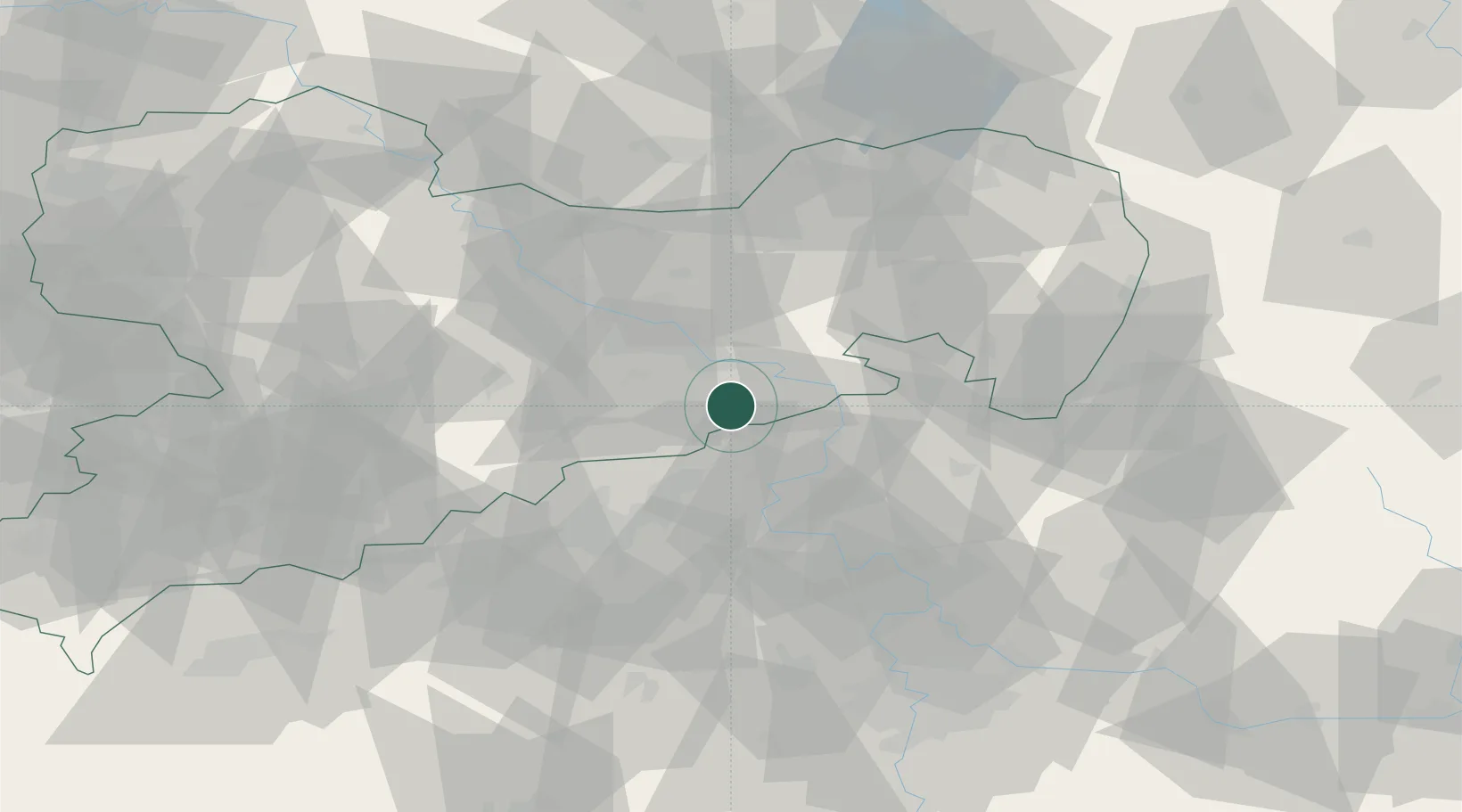
Hub Profile
Place type
Populated place
Region
Saxony
Time zone
Europe/Berlin
Elevation
333 m
Location
Nearby Logistics Neighbours
Cities
- 1Berggiesshübel2 km
- 2Bahretal5 km
- 3Müglitztal12 km
- 4Dohna13 km
- 5Copitz13 km
Ports
- 1Szczecin288 km
- 2Police305 km
- 3Swinoujscie342 km
- 4Wolgast356 km
- 5Wismar379 km
Airports
- 1Dresden Airport34 km
- 2Vodochody Airport77 km
- 3Václav Havel Airport Prague86 km
- 4Rothenburg/Görlitz Airfield90 km
- 5Prague–Kbely Air Base91 km
Trade Zones
DatabookThe Record of Consolidated Knowledge
Germany beyond logistics?