Transport Functions
Multimodal
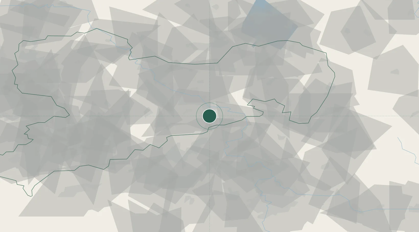
Hub Profile
Region
SN
Location
Nearby Logistics Neighbours
Cities
- 1Berggiesshübel3 km
- 2Bad Gottleuba5 km
- 3Müglitztal7 km
- 4Dohna8 km
- 5Copitz10 km
Ports
- 1Szczecin285 km
- 2Police302 km
- 3Swinoujscie338 km
- 4Wolgast352 km
- 5Wismar374 km
Airports
- 1Dresden Airport29 km
- 2Vodochody Airport82 km
- 3Václav Havel Airport Prague91 km
- 4Rothenburg/Görlitz Airfield91 km
- 5Prague–Kbely Air Base96 km
Trade Zones
DatabookThe Record of Consolidated Knowledge
Germany beyond logistics?