Transport Functions
Rail
Road
Hub Profile
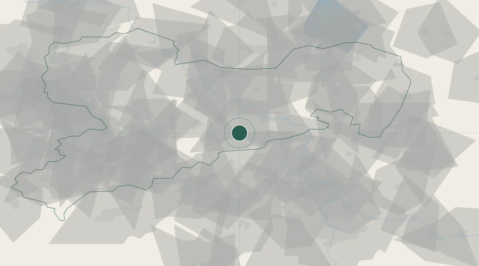
Place type
Local administrative seat
Region
Saxony
Population
4,806
Time zone
Europe/Berlin
Elevation
436 m
Location
Nearby Logistics Neighbours
Cities
- 1Geising12 km
- 2Müglitztal14 km
- 3Bahretal16 km
- 4Rechenberg-Bienenmühle17 km
- 5Dohna17 km
Ports
- 1Szczecin292 km
- 2Police308 km
- 3Swinoujscie343 km
- 4Wolgast356 km
- 5Wismar371 km
Airports
- 1Dresden Airport32 km
- 2Leipzig–Altenburg Airport84 km
- 3Vodochody Airport87 km
- 4Karlovy Vary Airport90 km
- 5Václav Havel Airport Prague93 km
Trade Zones
DatabookThe Record of Consolidated Knowledge
Germany beyond logistics?