Transport Functions
Rail
Road
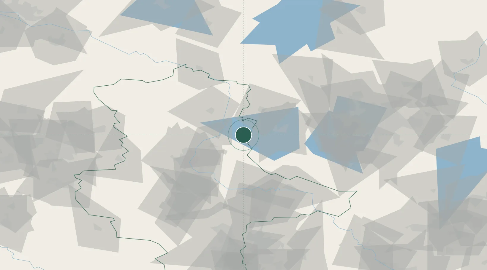
Hub Profile
Place type
Populated place
Region
Saxony-Anhalt
Population
14,059
Time zone
Europe/Berlin
Elevation
40 m
Location
Nearby Logistics Neighbours
Cities
- 1Ferchland13 km
- 2Gusen14 km
- 3Ziesar15 km
- 4Schelldorf16 km
- 5Wusterwitz16 km
Ports
- 1Wismar175 km
- 2Rostock191 km
- 3Lubeck193 km
- 4Lubeck-Travemunde196 km
- 5Szczecin197 km
Airports
- 1Zerbst Airfield43 km
- 2Berlin Brandenburg Airport91 km
- 3Holzdorf Air Base97 km
- 4Leipzig/Halle Airport107 km
- 5Braunschweig-Wolfsburg Airport110 km
Trade Zones
- 1Kostrzyń-Słubice SEZ169 km
- 2Szczecin Duty Free Zone198 km
- 3Swinoujscie Duty Free Zone219 km
- 4Most - Joseph Industrial Zone235 km
- 5Žatec - Triangle Strategic Industrial Zone240 km
DatabookThe Record of Consolidated Knowledge
Germany beyond logistics?