Transport Functions
Port
Road
Hub Profile
Place type
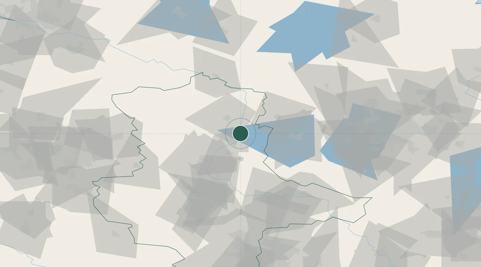
Populated place
Region
Saxony-Anhalt
Population
192
Time zone
Europe/Berlin
Elevation
33 m
Location
Nearby Logistics Neighbours
Cities
- 1Ferchland4 km
- 2Tangermünde10 km
- 3Tangerhütte13 km
- 4Gusen13 km
- 5Genthin16 km
Ports
- 1Wismar163 km
- 2Lubeck179 km
- 3Rostock182 km
- 4Lubeck-Travemunde182 km
- 5Hamburg183 km
Airports
- 1Zerbst Airfield53 km
- 2Braunschweig-Wolfsburg Airport98 km
- 3Berlin Brandenburg Airport104 km
- 4Holzdorf Air Base112 km
- 5Leipzig/Halle Airport118 km
Trade Zones
- 1Kostrzyń-Słubice SEZ180 km
- 2Szczecin Duty Free Zone203 km
- 3Swinoujscie Duty Free Zone221 km
- 4Freeport of Bremerhaven (Freihafen Bremerhaven)227 km
- 5Freeport of Kiel240 km
DatabookThe Record of Consolidated Knowledge
Germany beyond logistics?