UN/LOCODE hub · Germany
DEGUE

Gusen

52.3500°, 11.9667°
2
Transport functions

Transport Functions

Port
Road
UN/LOCODE

Hub Profile

Region
ST
GeoNames

Location

Location of DEGUE
Natural Earth 10m (public domain) · ST · DEGUE · 52.35, 11.97GoogleOSMYandex

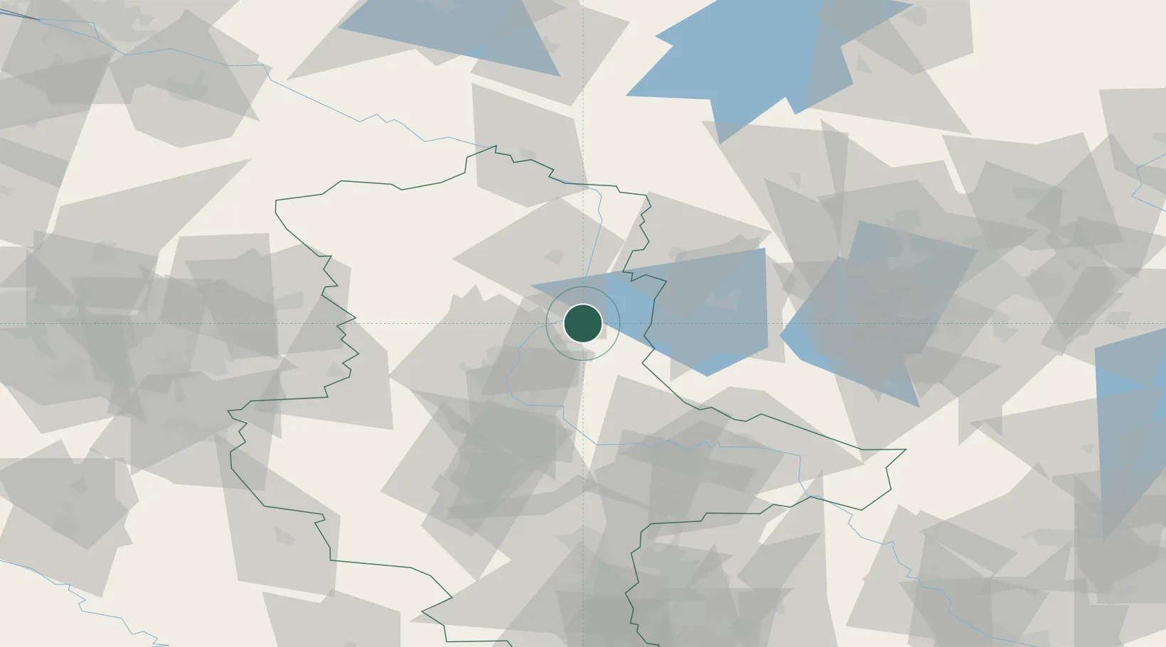
Nearby Logistics Neighbours

Cities
  1. 1Bertingen9 km
  2. 2Ferchland10 km
  3. 3Burg bei Magdeburg12 km
  4. 4Schelldorf13 km
  5. 5Genthin14 km
Nearest neighbours — logibook spatial index (haversine) over the source coordinates
Ports
  1. 1Wismar176 km
  2. 2Lubeck190 km
  3. 3Hamburg191 km
  4. 4Lubeck-Travemunde194 km
  5. 5Rostock195 km
Nearest neighbours — logibook spatial index (haversine) over the source coordinates
Airports
  1. 1Zerbst Airfield41 km
  2. 2Braunschweig-Wolfsburg Airport96 km
  3. 3Berlin Brandenburg Airport104 km
  4. 4Holzdorf Air Base105 km
  5. 5Leipzig/Halle Airport105 km
Nearest neighbours — logibook spatial index (haversine) over the source coordinates
Trade Zones
  1. 1Kostrzyń-Słubice SEZ183 km
  2. 2Szczecin Duty Free Zone212 km
  3. 3Freeport of Bremerhaven (Freihafen Bremerhaven)230 km
  4. 4Swinoujscie Duty Free Zone231 km
  5. 5Most - Joseph Industrial Zone238 km
Nearest neighbours — logibook spatial index (haversine) over the source coordinates
DatabookThe Record of Consolidated Knowledge
Germany beyond logistics?
Browse databook

All Sources

LocationsUN/LOCODE
UN/LOCODE — free
Portsthe NGA World Port Index
Public domain (US gov)
AirportsOurAirports
Public domain
Trade Zonesthe World Bank SEZ database
CC BY 4.0
Trade ZonesOpen Zone Map
CC BY
← Germany locations