Transport Functions
Multimodal
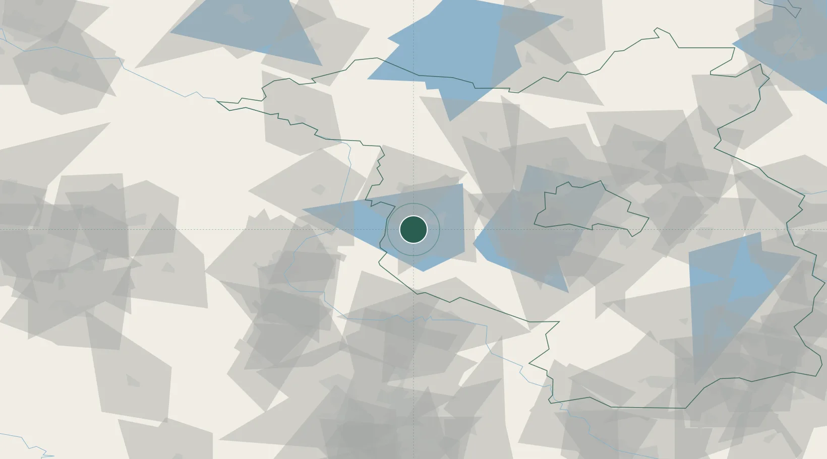
Hub Profile
Place type
Local administrative seat
Region
Brandenburg
Population
3,184
Time zone
Europe/Berlin
Elevation
32 m
Location
Nearby Logistics Neighbours
Cities
- 1Kirchmöser2 km
- 2Rogäsen8 km
- 3Brandenburg11 km
- 4Havelsee12 km
- 5Bücknitz14 km
Airports
- 1Zerbst Airfield46 km
- 2Berlin Brandenburg Airport75 km
- 3Holzdorf Air Base86 km
- 4Leipzig/Halle Airport108 km
- 5Braunschweig-Wolfsburg Airport125 km
Trade Zones
- 1Kostrzyń-Słubice SEZ154 km
- 2Szczecin Duty Free Zone186 km
- 3Swinoujscie Duty Free Zone210 km
- 4Most - Joseph Industrial Zone228 km
- 5Žatec - Triangle Strategic Industrial Zone235 km
DatabookThe Record of Consolidated Knowledge
Germany beyond logistics?