Transport Functions
Multimodal
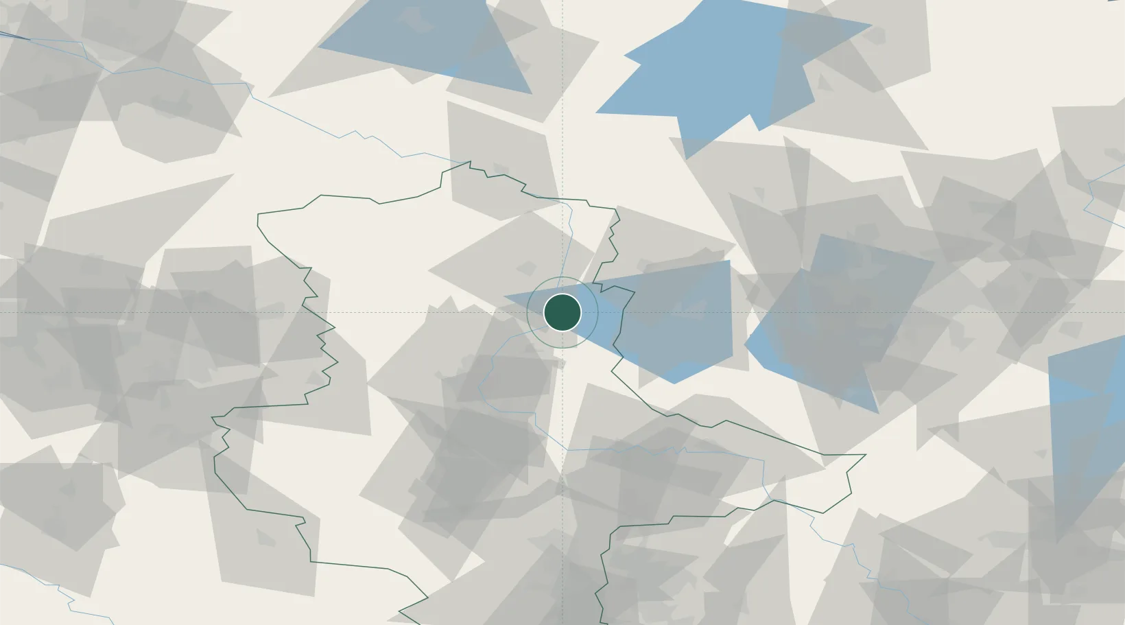
Hub Profile
Place type
Populated place
Region
Saxony-Anhalt
Population
600
Time zone
Europe/Berlin
Elevation
36 m
Location
Nearby Logistics Neighbours
Cities
- 1Schelldorf4 km
- 2Gusen10 km
- 3Genthin13 km
- 4Tangermünde13 km
- 5Tangerhütte14 km
Ports
- 1Wismar167 km
- 2Lubeck183 km
- 3Rostock186 km
- 4Lubeck-Travemunde186 km
- 5Neustadt201 km
Airports
- 1Zerbst Airfield49 km
- 2Braunschweig-Wolfsburg Airport99 km
- 3Berlin Brandenburg Airport102 km
- 4Holzdorf Air Base109 km
- 5Leipzig/Halle Airport114 km
Trade Zones
- 1Kostrzyń-Słubice SEZ180 km
- 2Szczecin Duty Free Zone204 km
- 3Swinoujscie Duty Free Zone222 km
- 4Freeport of Bremerhaven (Freihafen Bremerhaven)229 km
- 5Freeport of Kiel244 km
DatabookThe Record of Consolidated Knowledge
Germany beyond logistics?