UN/LOCODE hub · Germany
DEGLI
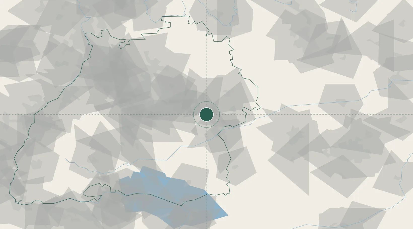
Geislingen an der Steige
48.6167°, 9.8500°
28,655
Population
2
Transport functions
Transport Functions
Rail
Road
Hub Profile
Place type
Populated place
Region
Baden-Wurttemberg
Population
28,655
Time zone
Europe/Berlin
Elevation
426 m
Location
Nearby Logistics Neighbours
Cities
- 1Gingen an der Fils7 km
- 2Salach10 km
- 3Eschenbach14 km
- 4Ottenbach15 km
- 5Mühlhausen im Täle16 km
Ports
- 1Nogaro405 km
- 2Porto Di Lido-Venezia406 km
- 3Grado416 km
- 4Porto Di Chioggia420 km
- 5Monfalcone421 km
Airports
- 1Laupheim Air Base44 km
- 2Stuttgart Airport47 km
- 3Adolf Würth Airport56 km
- 4Mengen-Hohentengen Airfield72 km
- 5Memmingen Allgau Airport76 km
Trade Zones
- 1ZFU Neuhof154 km
- 2ZFU Hautepierre159 km
- 3ZFU Mulhouse210 km
- 4ZFU La Cité Behren-lès-Forbach222 km
- 5Livigno Free Trade Zone233 km
DatabookThe Record of Consolidated Knowledge
Germany beyond logistics?