UN/LOCODE hub · Germany
DEGGF
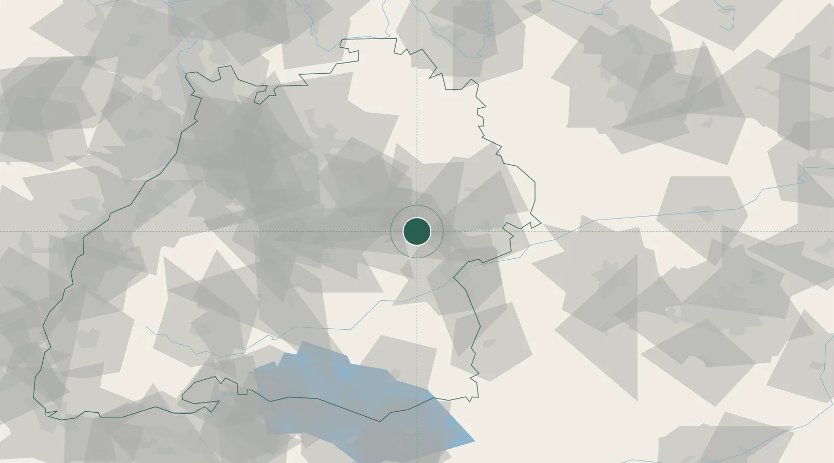
Gingen an der Fils
48.6500°, 9.7667°
4,365
Population
2
Transport functions
Transport Functions
Rail
Road
Hub Profile
Place type
Local administrative seat
Region
Baden-Wurttemberg
Population
4,365
Time zone
Europe/Berlin
Elevation
379 m
Location
Nearby Logistics Neighbours
Cities
- 1Salach4 km
- 2Geislingen an der Steige7 km
- 3Eschenbach7 km
- 4Ottenbach9 km
- 5Dürnau10 km
Ports
- 1Nogaro411 km
- 2Porto Di Lido-Venezia412 km
- 3Grado423 km
- 4Porto Di Chioggia426 km
- 5Monfalcone428 km
Airports
- 1Stuttgart Airport40 km
- 2Laupheim Air Base49 km
- 3Adolf Würth Airport52 km
- 4Mengen-Hohentengen Airfield72 km
- 5Memmingen Allgau Airport81 km
Trade Zones
- 1ZFU Neuhof148 km
- 2ZFU Hautepierre153 km
- 3ZFU Mulhouse206 km
- 4ZFU La Cité Behren-lès-Forbach215 km
- 5Livigno Free Trade Zone237 km
DatabookThe Record of Consolidated Knowledge
Germany beyond logistics?