UN/LOCODE hub · Germany
DESLX

Salach

48.6833°, 9.7500°
7,778
Population
2
Transport functions

Transport Functions

Rail
Road
UN/LOCODE

Hub Profile

Place type
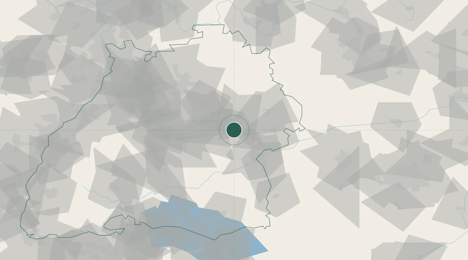
Local administrative seat
GeoNames
Region
Baden-Wurttemberg
GeoNames
Population
7,778
GeoNames
Time zone
Europe/Berlin
GeoNames
Elevation
354 m
GeoNames

Location

Location of DESLX
Natural Earth 10m (public domain) · Baden-Wurttemberg · DESLX · 48.68, 9.75GoogleOSMYandex

Nearby Logistics Neighbours

Cities
  1. 1Gingen an der Fils4 km
  2. 2Ottenbach6 km
  3. 3Eschenbach7 km
  4. 4Birenbach10 km
  5. 5Dürnau10 km
Nearest neighbours — logibook spatial index (haversine) over the source coordinates
Ports
  1. 1Nogaro415 km
  2. 2Porto Di Lido-Venezia416 km
  3. 3Grado427 km
  4. 4Porto Di Chioggia430 km
  5. 5Monfalcone432 km
Nearest neighbours — logibook spatial index (haversine) over the source coordinates
Airports
  1. 1Stuttgart Airport39 km
  2. 2Adolf Würth Airport48 km
  3. 3Laupheim Air Base53 km
  4. 4Mengen-Hohentengen Airfield75 km
  5. 5Niederstetten Army Air Base80 km
Nearest neighbours — logibook spatial index (haversine) over the source coordinates
Trade Zones
  1. 1ZFU Neuhof147 km
  2. 2ZFU Hautepierre152 km
  3. 3ZFU Mulhouse207 km
  4. 4ZFU La Cité Behren-lès-Forbach213 km
  5. 5Livigno Free Trade Zone241 km
Nearest neighbours — logibook spatial index (haversine) over the source coordinates
DatabookThe Record of Consolidated Knowledge
Germany beyond logistics?
Browse databook

All Sources

LocationsUN/LOCODE
UN/LOCODE — free
LocationsGeoNames
CC BY 4.0
Portsthe NGA World Port Index
Public domain (US gov)
AirportsOurAirports
Public domain
Trade Zonesthe World Bank SEZ database
CC BY 4.0
Trade ZonesOpen Zone Map
CC BY
← Germany locations