UN/LOCODE hub · Germany
DEEHB

Eschenbach

48.6500°, 9.6667°
2,316
Population
2
Transport functions

Transport Functions

Rail
Road
UN/LOCODE

Hub Profile

Place type
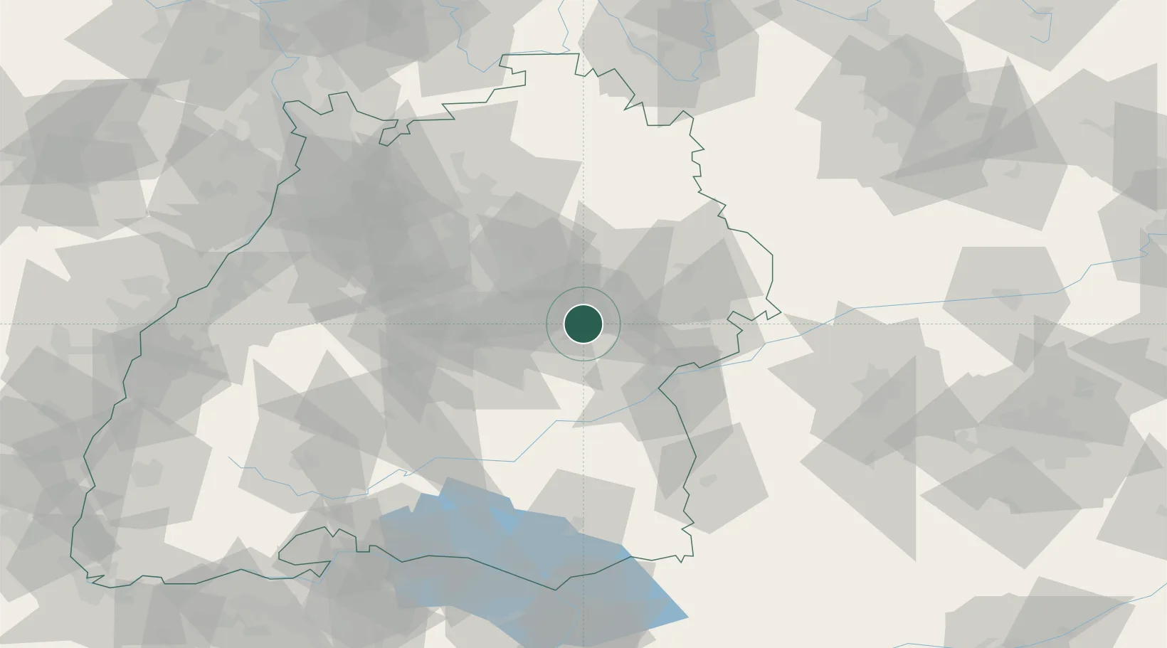
Local administrative seat
GeoNames
Region
Baden-Wurttemberg
GeoNames
Population
2,316
GeoNames
Time zone
Europe/Berlin
GeoNames
Elevation
410 m
GeoNames

Location

Location of DEEHB
Natural Earth 10m (public domain) · Baden-Wurttemberg · DEEHB · 48.65, 9.67GoogleOSMYandex

Nearby Logistics Neighbours

Cities
  1. 1Dürnau3 km
  2. 2Boll5 km
  3. 3Bad Boll6 km
  4. 4Salach7 km
  5. 5Gingen an der Fils7 km
Nearest neighbours — logibook spatial index (haversine) over the source coordinates
Ports
  1. 1Porto Di Lido-Venezia416 km
  2. 2Nogaro416 km
  3. 3Grado428 km
  4. 4Porto Di Chioggia429 km
  5. 5Monfalcone433 km
Nearest neighbours — logibook spatial index (haversine) over the source coordinates
Airports
  1. 1Stuttgart Airport33 km
  2. 2Laupheim Air Base51 km
  3. 3Adolf Würth Airport53 km
  4. 4Mengen-Hohentengen Airfield70 km
  5. 5Memmingen Allgau Airport85 km
Nearest neighbours — logibook spatial index (haversine) over the source coordinates
Trade Zones
  1. 1ZFU Neuhof141 km
  2. 2ZFU Hautepierre145 km
  3. 3ZFU Mulhouse200 km
  4. 4ZFU La Cité Behren-lès-Forbach208 km
  5. 5Livigno Free Trade Zone238 km
Nearest neighbours — logibook spatial index (haversine) over the source coordinates
DatabookThe Record of Consolidated Knowledge
Germany beyond logistics?
Browse databook

All Sources

LocationsUN/LOCODE
UN/LOCODE — free
LocationsGeoNames
CC BY 4.0
Portsthe NGA World Port Index
Public domain (US gov)
AirportsOurAirports
Public domain
Trade Zonesthe World Bank SEZ database
CC BY 4.0
Trade ZonesOpen Zone Map
CC BY
← Germany locations