Transport Functions
Road
Multimodal
Hub Profile
Region
BW
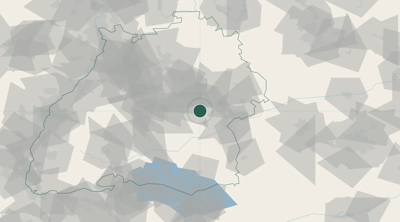
Location
Nearby Logistics Neighbours
Cities
- 1Dürnau8 km
- 2Boll8 km
- 3Eschenbach9 km
- 4Bad Boll11 km
- 5Gingen an der Fils13 km
Ports
- 1Porto Di Lido-Venezia409 km
- 2Nogaro410 km
- 3Porto Di Chioggia422 km
- 4Grado422 km
- 5Monfalcone427 km
Airports
- 1Stuttgart Airport34 km
- 2Laupheim Air Base43 km
- 3Mengen-Hohentengen Airfield61 km
- 4Adolf Würth Airport62 km
- 5Memmingen Allgau Airport78 km
Trade Zones
- 1ZFU Neuhof139 km
- 2ZFU Hautepierre144 km
- 3ZFU Mulhouse194 km
- 4ZFU La Cité Behren-lès-Forbach210 km
- 5Livigno Free Trade Zone229 km
DatabookThe Record of Consolidated Knowledge
Germany beyond logistics?