Transport Functions
Multimodal
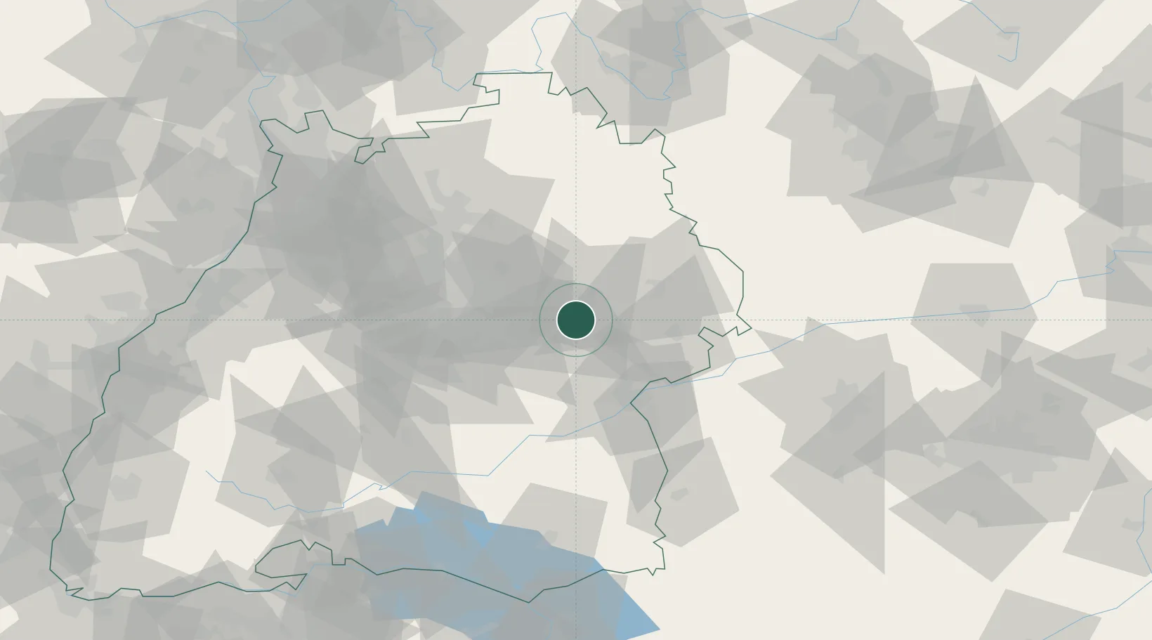
Hub Profile
Place type
Local administrative seat
Region
Baden-Wurttemberg
Population
2,459
Time zone
Europe/Berlin
Elevation
391 m
Location
Nearby Logistics Neighbours
Cities
- 1Salach6 km
- 2Wäschenbeuren6 km
- 3Birenbach6 km
- 4Schwäbisch Gmünd8 km
- 5Gingen an der Fils9 km
Ports
- 1Nogaro419 km
- 2Porto Di Lido-Venezia421 km
- 3Grado431 km
- 4Porto Di Chioggia435 km
- 5Monfalcone436 km
Airports
- 1Stuttgart Airport39 km
- 2Adolf Würth Airport43 km
- 3Laupheim Air Base58 km
- 4Niederstetten Army Air Base75 km
- 5Mengen-Hohentengen Airfield81 km
Trade Zones
- 1ZFU Neuhof148 km
- 2ZFU Hautepierre152 km
- 3ZFU Mulhouse210 km
- 4ZFU La Cité Behren-lès-Forbach212 km
- 5Livigno Free Trade Zone246 km
DatabookThe Record of Consolidated Knowledge
Germany beyond logistics?