Transport Functions
Port
Road
Hub Profile
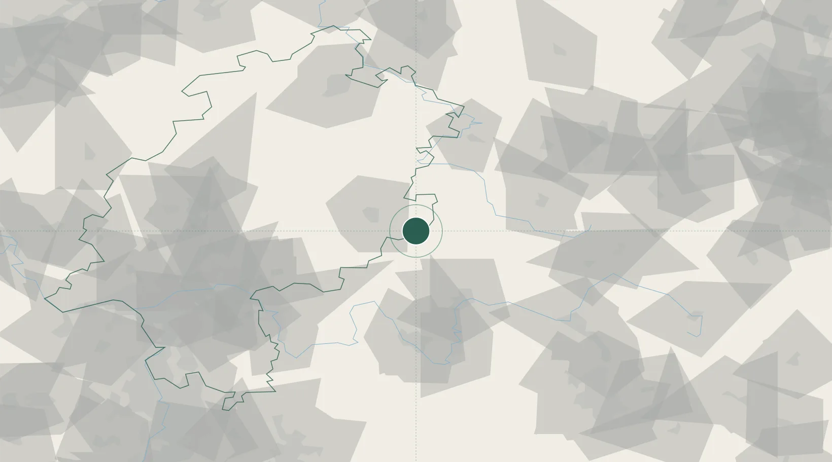
Place type
Populated place
Region
Hesse
Population
6,351
Time zone
Europe/Berlin
Elevation
486 m
Location
Nearby Logistics Neighbours
Cities
- 1Bischofsheim an der Rhon7 km
- 2Frankenheim11 km
- 3Ebersburg12 km
- 4Dipperz14 km
- 5Ostheim vor der Rhön19 km
Airports
- 1Eisenach-Kindel Airport71 km
- 2Fritzlar Army Airfield87 km
- 3Bamberg-Breitenau Airfield90 km
- 4Erfurt-Weimar Airport92 km
- 5Frankfurt-Egelsbach Airport108 km
Trade Zones
- 1Podbořany Industrial Zone246 km
- 2Žatec - Triangle Strategic Industrial Zone253 km
- 3Rheinische Revier SWZ257 km
- 4ZFU La Cité Behren-lès-Forbach260 km
- 5Freeport of Duisburg260 km
DatabookThe Record of Consolidated Knowledge
Germany beyond logistics?