Transport Functions
Multimodal
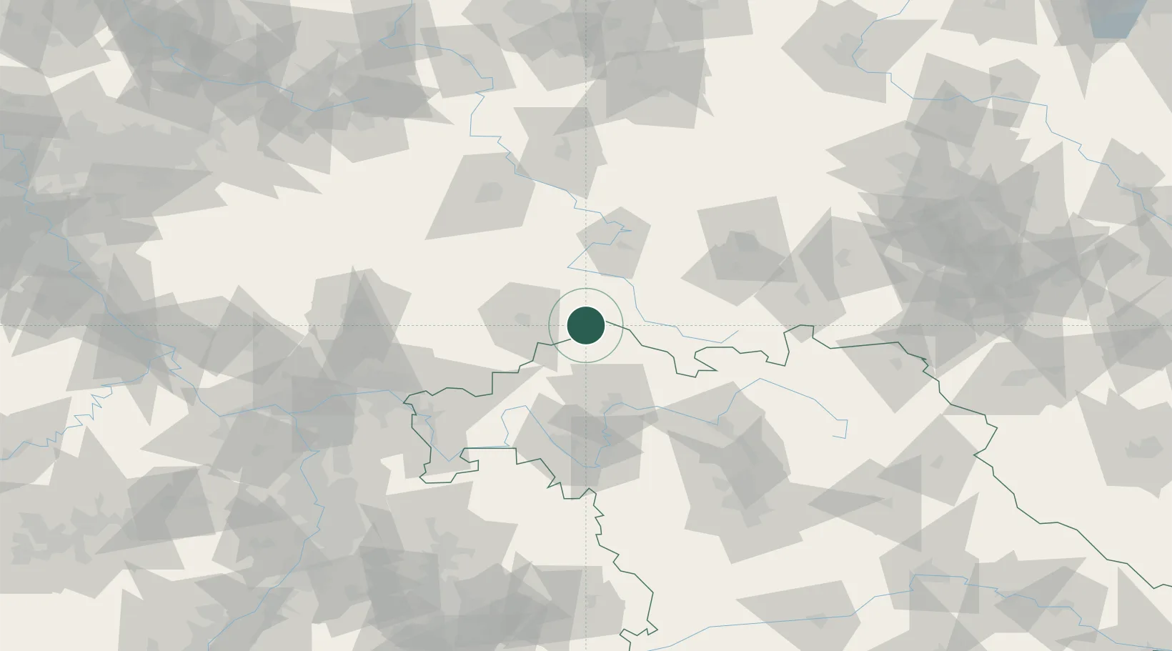
Hub Profile
Place type
Populated place
Region
Thuringia
Population
1,287
Time zone
Europe/Berlin
Elevation
757 m
Location
Nearby Logistics Neighbours
Cities
- 1Gersfeld11 km
- 2Ostheim vor der Rhön12 km
- 3Kaltennordheim13 km
- 4Bischofsheim an der Rhon13 km
- 5Dipperz19 km
Airports
- 1Eisenach-Kindel Airport60 km
- 2Erfurt-Weimar Airport81 km
- 3Fritzlar Army Airfield86 km
- 4Bamberg-Breitenau Airfield90 km
- 5Kassel Airport111 km
Trade Zones
- 1Podbořany Industrial Zone239 km
- 2Žatec - Triangle Strategic Industrial Zone245 km
- 3Most - Joseph Industrial Zone253 km
- 4Rheinische Revier SWZ263 km
- 5Freeport of Duisburg265 km
DatabookThe Record of Consolidated Knowledge
Germany beyond logistics?