Transport Functions
Road
Multimodal
Hub Profile
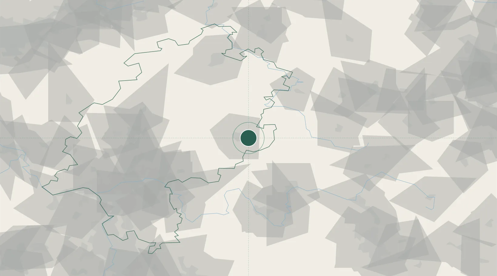
Place type
Local administrative seat
Region
Hesse
Population
3,405
Time zone
Europe/Berlin
Elevation
360 m
Location
Nearby Logistics Neighbours
Cities
- 1Ebersburg9 km
- 2Gersfeld14 km
- 3Mittelkalbach17 km
- 4Kalbach17 km
- 5Neuhof17 km
Airports
- 1Eisenach-Kindel Airport70 km
- 2Fritzlar Army Airfield74 km
- 3Erfurt-Weimar Airport96 km
- 4Kassel Airport103 km
- 5Frankfurt-Egelsbach Airport104 km
Trade Zones
- 1Rheinische Revier SWZ244 km
- 2Freeport of Duisburg247 km
- 3ZFU La Cité Behren-lès-Forbach256 km
- 4Podbořany Industrial Zone258 km
- 5ZFU Hautepierre264 km
DatabookThe Record of Consolidated Knowledge
Germany beyond logistics?