Transport Functions
Multimodal
Hub Profile
Place type
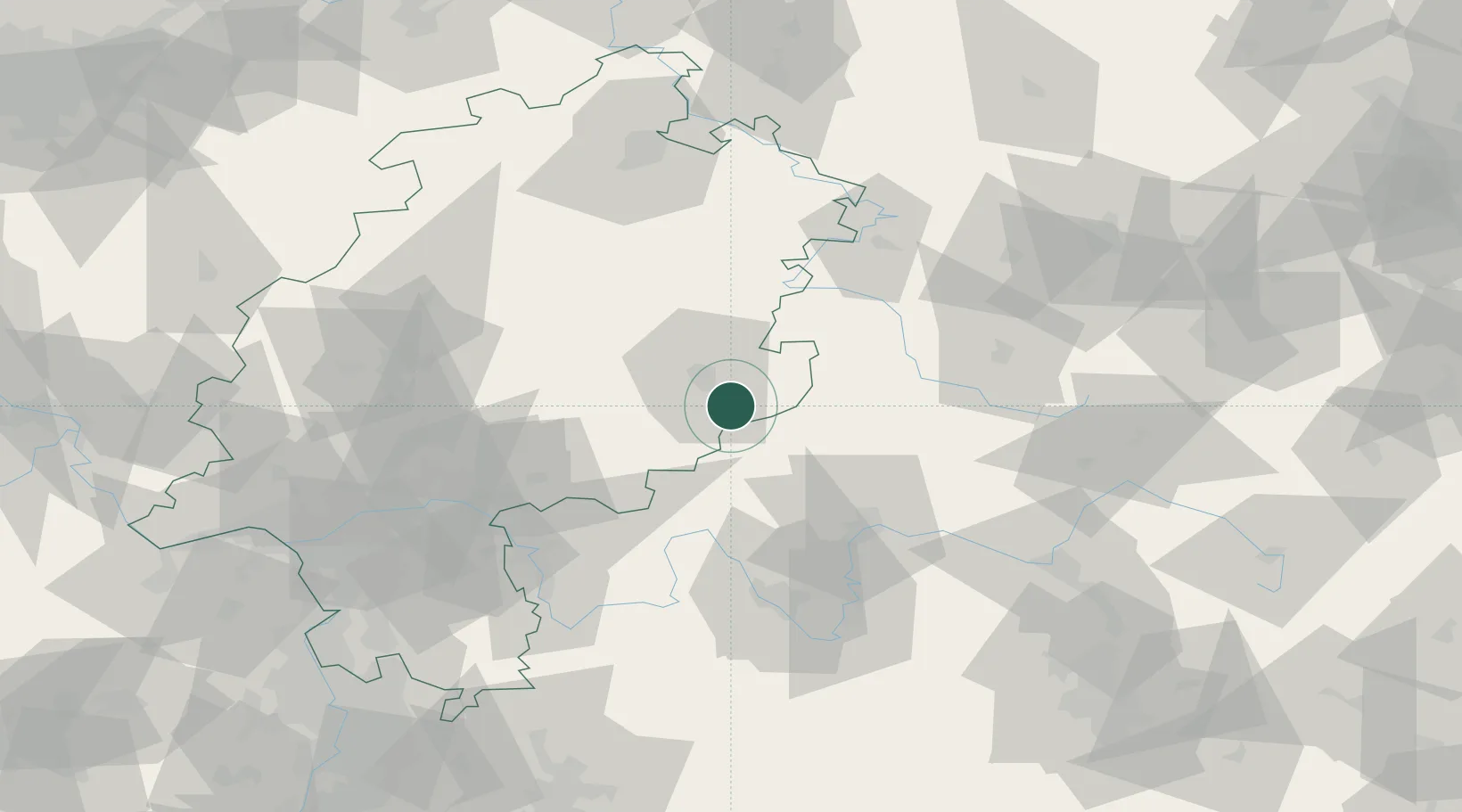
Populated place
Region
Hesse
Time zone
Europe/Berlin
Elevation
344 m
Location
Nearby Logistics Neighbours
Cities
- 1Kalbach9 km
- 2Dipperz9 km
- 3Mittelkalbach10 km
- 4Gersfeld12 km
- 5Neuhof12 km
Airports
- 1Eisenach-Kindel Airport78 km
- 2Fritzlar Army Airfield82 km
- 3Frankfurt-Egelsbach Airport98 km
- 4Frankfurt Main Airport99 km
- 5Bamberg-Breitenau Airfield100 km
Trade Zones
- 1Rheinische Revier SWZ245 km
- 2ZFU La Cité Behren-lès-Forbach250 km
- 3Freeport of Duisburg250 km
- 4ZFU Hautepierre256 km
- 5ZFU Neuhof258 km
DatabookThe Record of Consolidated Knowledge
Germany beyond logistics?