Transport Functions
Rail
Road
Multimodal
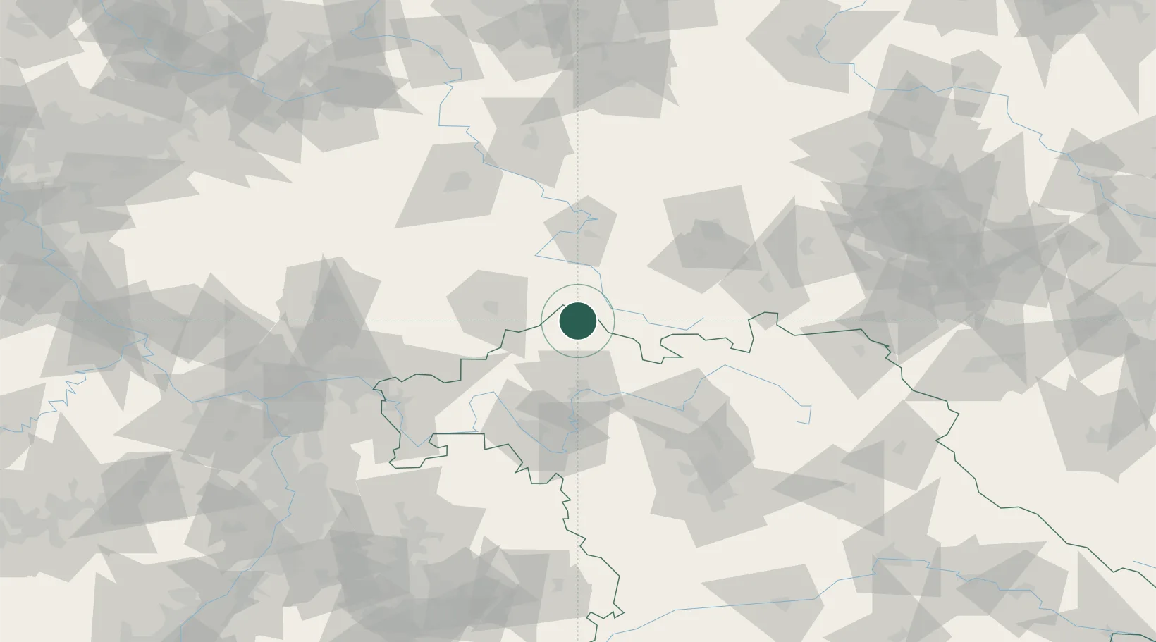
Hub Profile
Region
BY
Location
Nearby Logistics Neighbours
Cities
- 1Unsleben10 km
- 2Frankenheim12 km
- 3Heustreu13 km
- 4Leutershausen (Rhon-Grabfeld)15 km
- 5Bischofsheim an der Rhon16 km
Airports
- 1Eisenach-Kindel Airport61 km
- 2Erfurt-Weimar Airport77 km
- 3Bamberg-Breitenau Airfield79 km
- 4Fritzlar Army Airfield97 km
- 5Bayreuth Airport115 km
Trade Zones
- 1Podbořany Industrial Zone228 km
- 2Žatec - Triangle Strategic Industrial Zone234 km
- 3Most - Joseph Industrial Zone242 km
- 4Freeport of Deggendorf264 km
- 5Rheinische Revier SWZ275 km
DatabookThe Record of Consolidated Knowledge
Germany beyond logistics?