Transport Functions
Multimodal
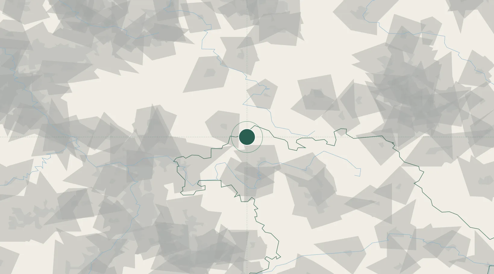
Hub Profile
Region
BY
Location
Nearby Logistics Neighbours
Cities
- 1Gersfeld7 km
- 2Leutershausen (Rhon-Grabfeld)13 km
- 3Frankenheim13 km
- 4Burkardroth15 km
- 5Ostheim vor der Rhön16 km
Airports
- 1Eisenach-Kindel Airport73 km
- 2Bamberg-Breitenau Airfield83 km
- 3Erfurt-Weimar Airport93 km
- 4Fritzlar Army Airfield95 km
- 5Frankfurt-Egelsbach Airport109 km
Trade Zones
DatabookThe Record of Consolidated Knowledge
Germany beyond logistics?