Transport Functions
Port
Road
Hub Profile
Place type
Local administrative seat
Region
Baden-Wurttemberg
Population
3,343
Time zone
Europe/Berlin
Elevation
284 m
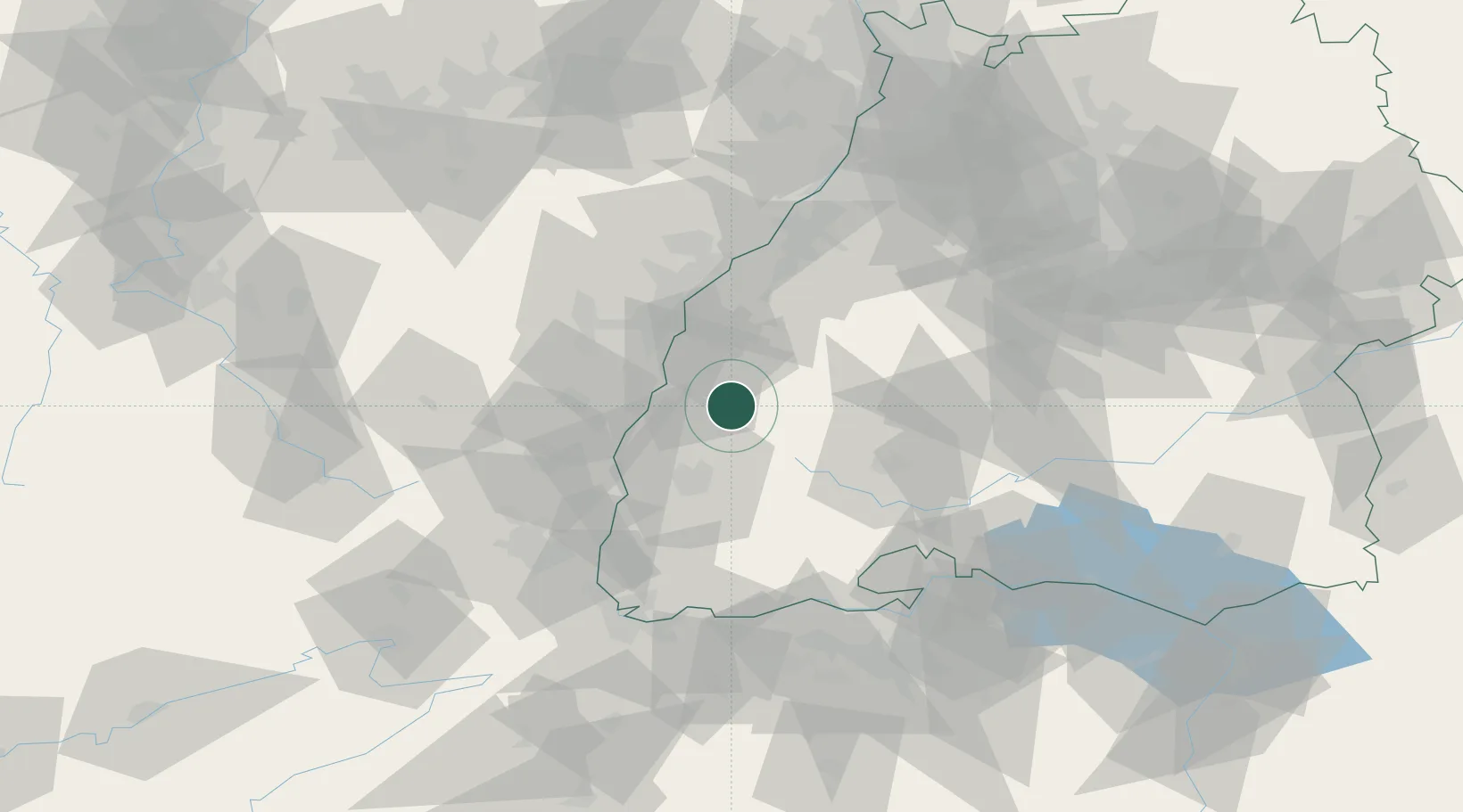
Location
Nearby Logistics Neighbours
Cities
- 1Seelbach6 km
- 2Steinach (Ortenaukreis)7 km
- 3Haslach im Kinzigtal9 km
- 4Biberach9 km
- 5Birach13 km
Airports
- 1Lahr Airport15 km
- 2Strasbourg Airport39 km
- 3Colmar Houssen airport48 km
- 4Donaueschingen-Villingen Airfield53 km
- 5Karlsruhe Baden-Baden Airport58 km
Trade Zones
- 1ZFU Neuhof34 km
- 2ZFU Hautepierre42 km
- 3ZFU Mulhouse74 km
- 4ZFU Belfort111 km
- 5ZFU Montbéliard122 km
DatabookThe Record of Consolidated Knowledge
Germany beyond logistics?