Transport Functions
Road
Multimodal
Hub Profile
Place type
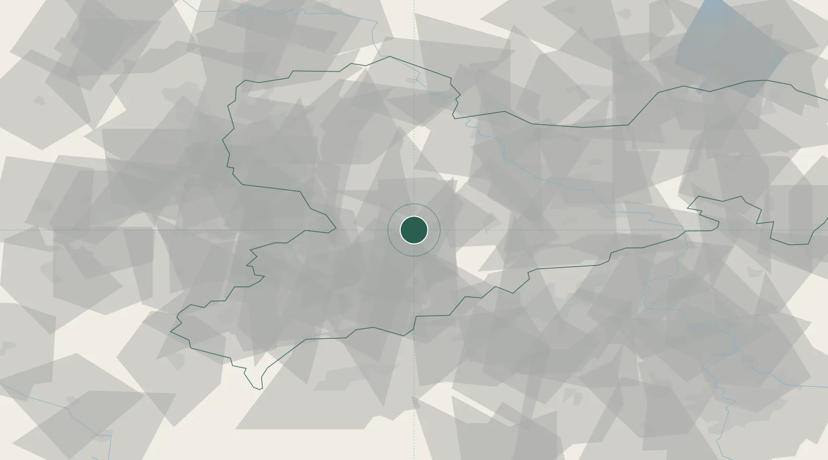
Populated place
Region
Saxony
Time zone
Europe/Berlin
Elevation
276 m
Location
Nearby Logistics Neighbours
Cities
- 1Floha5 km
- 2Föha6 km
- 3Auerswalde6 km
- 4Wittgensdorf11 km
- 5Niederwiesa12 km
Ports
- 1Szczecin301 km
- 2Police317 km
- 3Swinoujscie348 km
- 4Wismar351 km
- 5Wolgast356 km
Airports
- 1Leipzig–Altenburg Airport36 km
- 2Dresden Airport61 km
- 3Karlovy Vary Airport76 km
- 4Leipzig/Halle Airport80 km
- 5Holzdorf Air Base99 km
Trade Zones
DatabookThe Record of Consolidated Knowledge
Germany beyond logistics?