UN/LOCODE hub · Germany
DEKDW
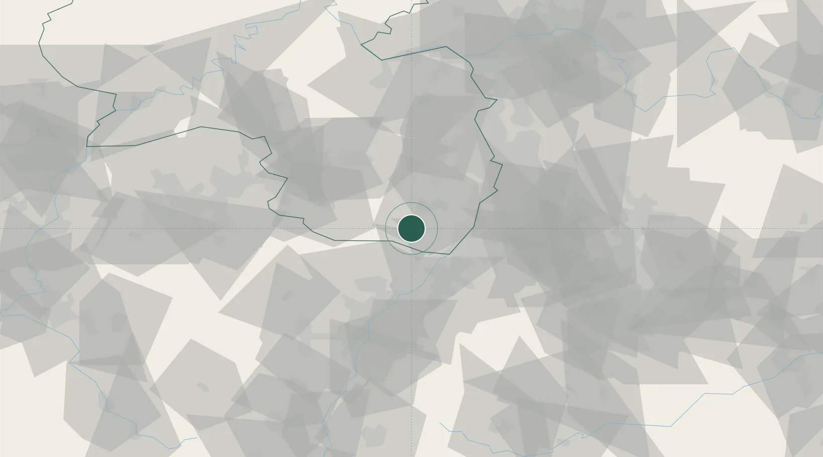
Kapellen-Drusweiler
49.1000°, 8.0333°
888
Population
1
Transport functions
Transport Functions
Multimodal
Hub Profile
Place type
Local administrative seat
Region
Rheinland-Pfalz
Population
888
Time zone
Europe/Berlin
Elevation
166 m
Location
Nearby Logistics Neighbours
Cities
- 1Hergersweiler4 km
- 2Freckenfeld7 km
- 3Leinsweiler9 km
- 4Kandel11 km
- 5Birkweiler11 km
Airports
- 1Karlsruhe Baden-Baden Airport36 km
- 2Ramstein Air Base49 km
- 3Mannheim-City Airport54 km
- 4Saarbrücken Airport68 km
- 5Strasbourg Airport69 km
Trade Zones
- 1ZFU Hautepierre62 km
- 2ZFU Neuhof65 km
- 3ZFU La Cité Behren-lès-Forbach81 km
- 4ZFU Metz136 km
- 5ZFU Woippy-Metz137 km
DatabookThe Record of Consolidated Knowledge
Germany beyond logistics?