UN/LOCODE hub · Germany
DEHEW

Hergersweiler

49.1000°, 8.0833°
212
Population
2
Transport functions

Transport Functions

Rail
Road
UN/LOCODE

Hub Profile

Place type
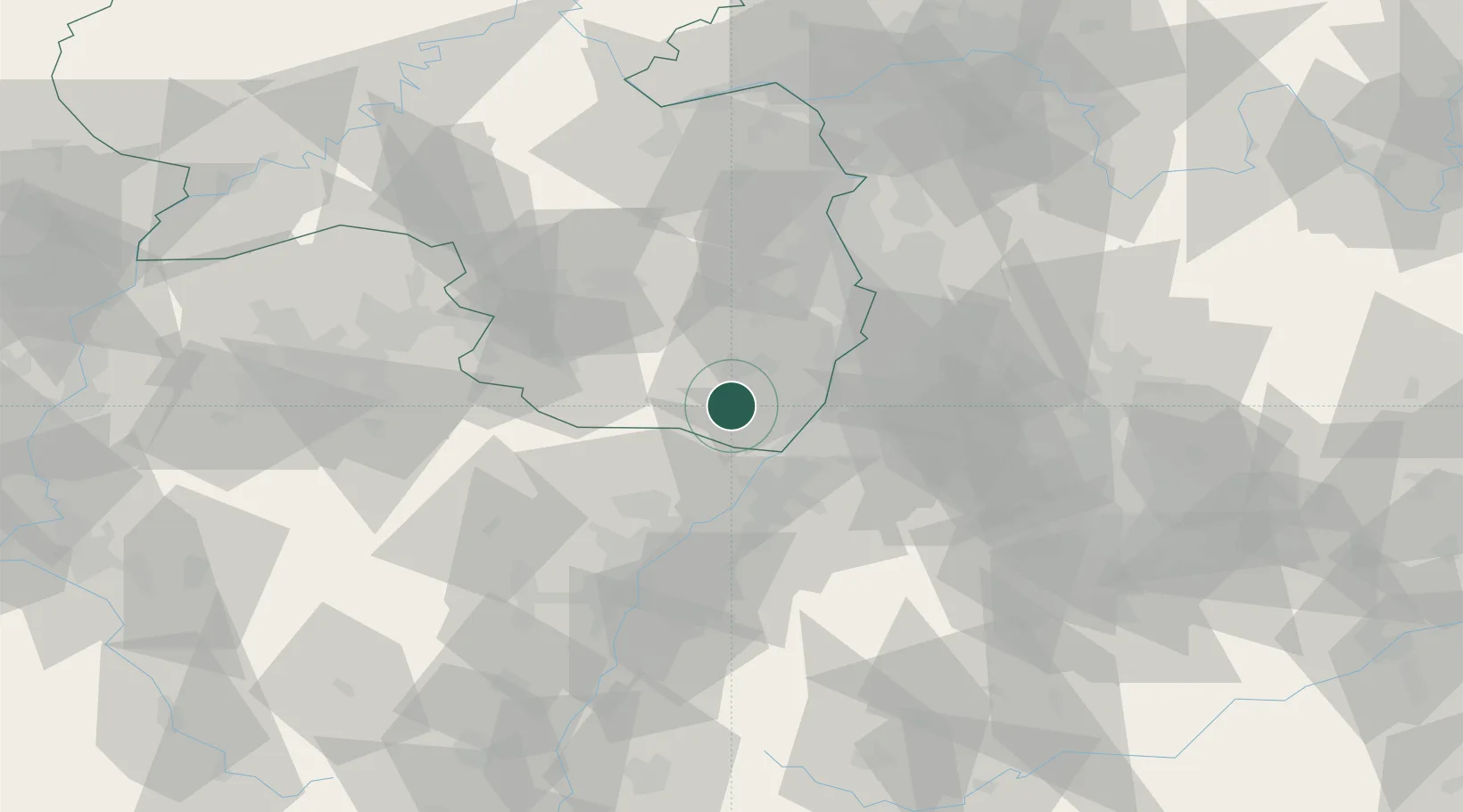
Local administrative seat
GeoNames
Region
Rheinland-Pfalz
GeoNames
Population
212
GeoNames
Time zone
Europe/Berlin
GeoNames
Elevation
142 m
GeoNames

Location

Location of DEHEW
Natural Earth 10m (public domain) · Rheinland-Pfalz · DEHEW · 49.10, 8.08GoogleOSMYandex

Nearby Logistics Neighbours

Cities
  1. 1Kapellen-Drusweiler4 km
  2. 2Freckenfeld6 km
  3. 3Kandel8 km
  4. 4Leinsweiler11 km
  5. 5Landau in der Pfalz11 km
Nearest neighbours — logibook spatial index (haversine) over the source coordinates
Ports
  1. 1Bruxelles331 km
  2. 2Antwerpen352 km
  3. 3Dordrecht388 km
  4. 4Hansweert390 km
  5. 5Rotterdam402 km
Nearest neighbours — logibook spatial index (haversine) over the source coordinates
Airports
  1. 1Karlsruhe Baden-Baden Airport36 km
  2. 2Ramstein Air Base51 km
  3. 3Mannheim-City Airport52 km
  4. 4Strasbourg Airport71 km
  5. 5Saarbrücken Airport72 km
Nearest neighbours — logibook spatial index (haversine) over the source coordinates
Trade Zones
  1. 1ZFU Hautepierre63 km
  2. 2ZFU Neuhof67 km
  3. 3ZFU La Cité Behren-lès-Forbach84 km
  4. 4ZFU Metz140 km
  5. 5ZFU Woippy-Metz141 km
Nearest neighbours — logibook spatial index (haversine) over the source coordinates
DatabookThe Record of Consolidated Knowledge
Germany beyond logistics?
Browse databook

All Sources

LocationsUN/LOCODE
UN/LOCODE — free
LocationsGeoNames
CC BY 4.0
Portsthe NGA World Port Index
Public domain (US gov)
AirportsOurAirports
Public domain
Trade Zonesthe World Bank SEZ database
CC BY 4.0
Trade ZonesOpen Zone Map
CC BY
← Germany locations