Transport Functions
Rail
Road
Hub Profile
Place type
Populated place
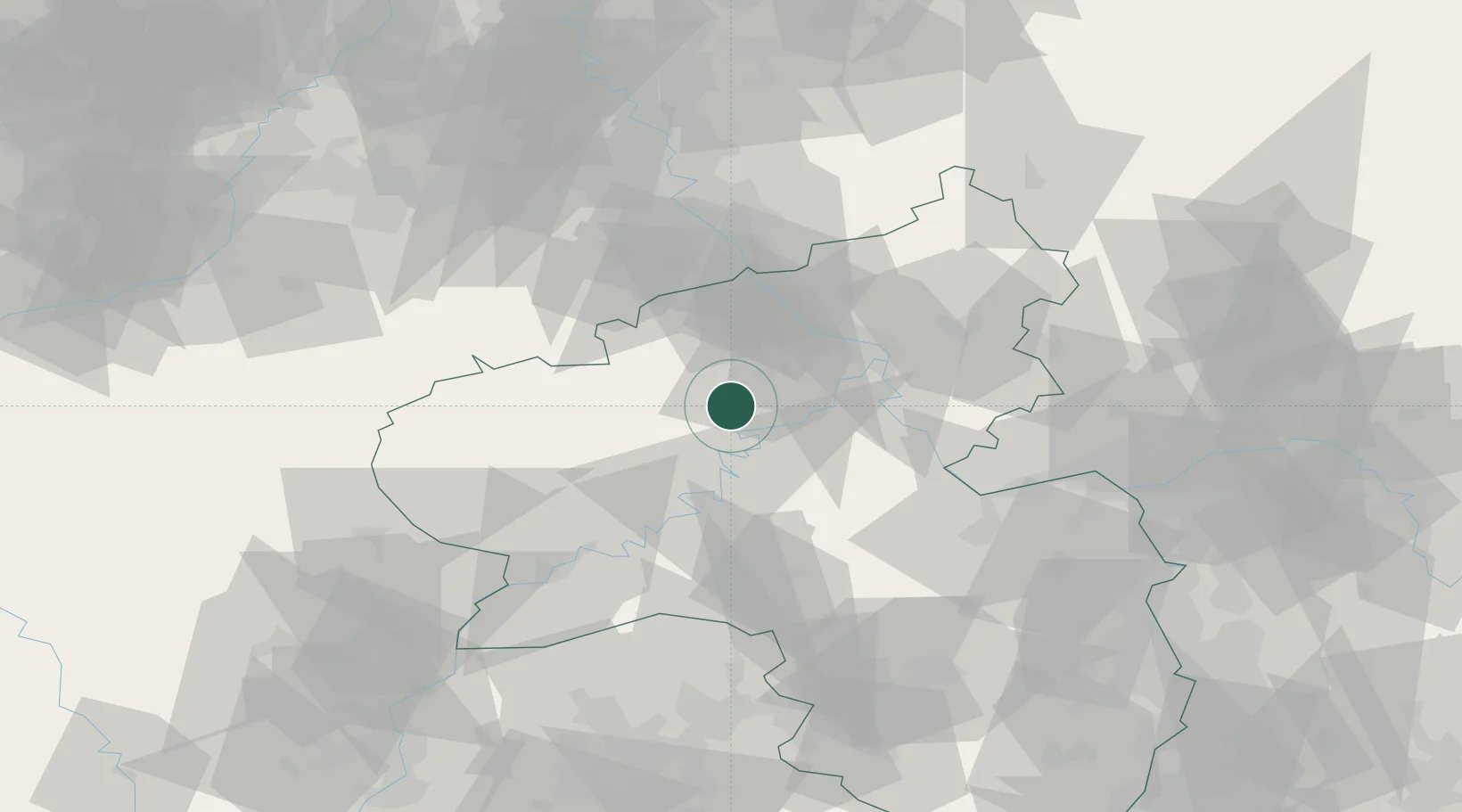
Region
Rheinland-Pfalz
Population
3,001
Time zone
Europe/Berlin
Elevation
423 m
Location
Nearby Logistics Neighbours
Cities
- 1Masburg3 km
- 2Leienkaul5 km
- 3Forst (Eifel)7 km
- 4Treis-Karden12 km
- 5Ettringen14 km
Airports
- 1Büchel Air Base9 km
- 2Frankfurt-Hahn Airport33 km
- 3Spangdahlem Air Base43 km
- 4Cologne Bonn Airport70 km
- 5Nörvenich Air Base75 km
Trade Zones
- 1Rheinische Revier SWZ93 km
- 2Luxembourg Free Port94 km
- 3ZFU La Cité Behren-lès-Forbach120 km
- 4ZFU Woippy-Metz140 km
- 5Freeport of Duisburg141 km
DatabookThe Record of Consolidated Knowledge
Germany beyond logistics?