Transport Functions
Rail
Road
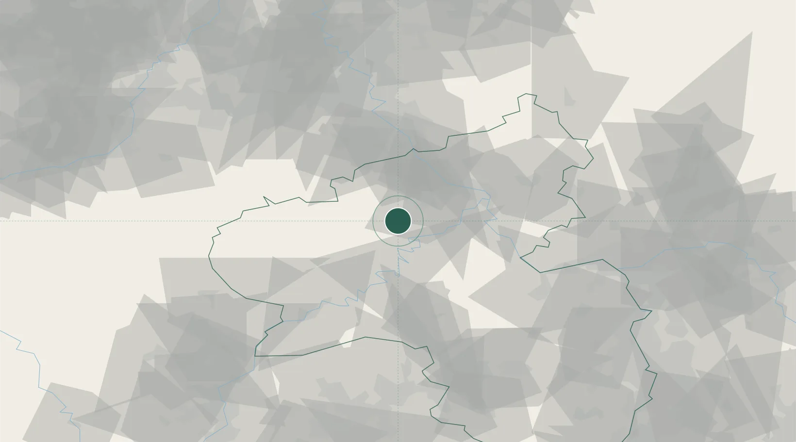
Hub Profile
Place type
Local administrative seat
Region
Rheinland-Pfalz
Population
1,037
Time zone
Europe/Berlin
Elevation
490 m
Location
Nearby Logistics Neighbours
Cities
- 1Kaisersesch3 km
- 2Leienkaul4 km
- 3Forst (Eifel)10 km
- 4Reimerath12 km
- 5Ettringen13 km
Airports
- 1Büchel Air Base9 km
- 2Frankfurt-Hahn Airport35 km
- 3Spangdahlem Air Base43 km
- 4Cologne Bonn Airport69 km
- 5Nörvenich Air Base72 km
Trade Zones
- 1Rheinische Revier SWZ90 km
- 2Luxembourg Free Port93 km
- 3ZFU La Cité Behren-lès-Forbach121 km
- 4Freeport of Duisburg138 km
- 5ZFU Woippy-Metz141 km
DatabookThe Record of Consolidated Knowledge
Germany beyond logistics?