Transport Functions
Rail
Road
Hub Profile
Place type
Local administrative seat
Region
Hesse
Population
7,297
Time zone
Europe/Berlin
Elevation
119 m
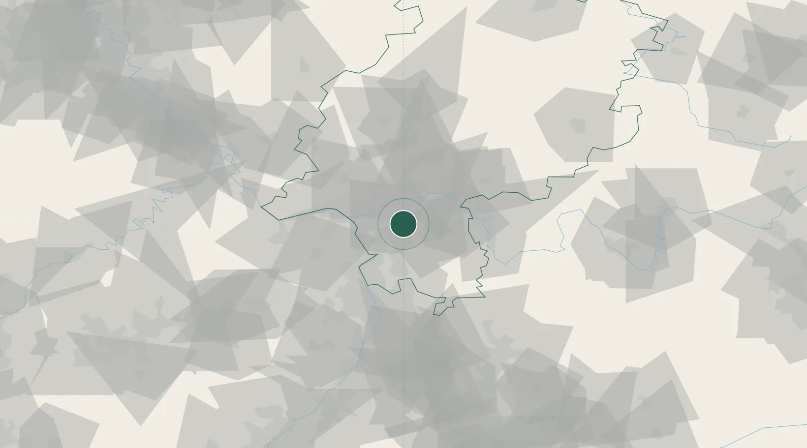
Location
Nearby Logistics Neighbours
Cities
- 1Gross-Gerau10 km
- 2Lorzweiler12 km
- 3Neu Isenburg12 km
- 4Rossdorf14 km
- 5Rüsselsheim15 km
Airports
- 1Frankfurt-Egelsbach Airport1 km
- 2Frankfurt Main Airport10 km
- 3Wiesbaden Army Airfield25 km
- 4Mainz-Finthen Airfield35 km
- 5Mannheim-City Airport54 km
Trade Zones
- 1ZFU La Cité Behren-lès-Forbach151 km
- 2ZFU Hautepierre166 km
- 3ZFU Neuhof169 km
- 4Luxembourg Free Port177 km
- 5Rheinische Revier SWZ192 km
DatabookThe Record of Consolidated Knowledge
Germany beyond logistics?