Transport Functions
Multimodal
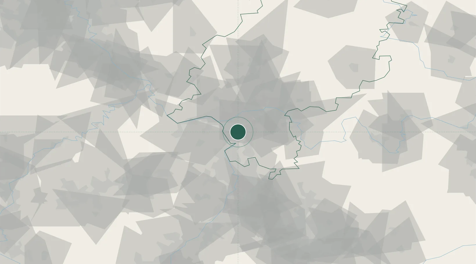
Hub Profile
Place type
Local administrative seat
Region
Rheinland-Pfalz
Population
2,085
Time zone
Europe/Berlin
Elevation
144 m
Location
Nearby Logistics Neighbours
Cities
- 1Gross-Gerau4 km
- 2Riedstadt6 km
- 3Erzhausen12 km
- 4Rüsselsheim12 km
- 5Ludwigshöhe13 km
Airports
- 1Frankfurt-Egelsbach Airport13 km
- 2Frankfurt Main Airport17 km
- 3Wiesbaden Army Airfield22 km
- 4Mainz-Finthen Airfield27 km
- 5Mannheim-City Airport46 km
Trade Zones
- 1ZFU La Cité Behren-lès-Forbach139 km
- 2ZFU Hautepierre155 km
- 3ZFU Neuhof159 km
- 4Luxembourg Free Port166 km
- 5ZFU Woippy-Metz188 km
DatabookThe Record of Consolidated Knowledge
Germany beyond logistics?