Transport Functions
Rail
Road
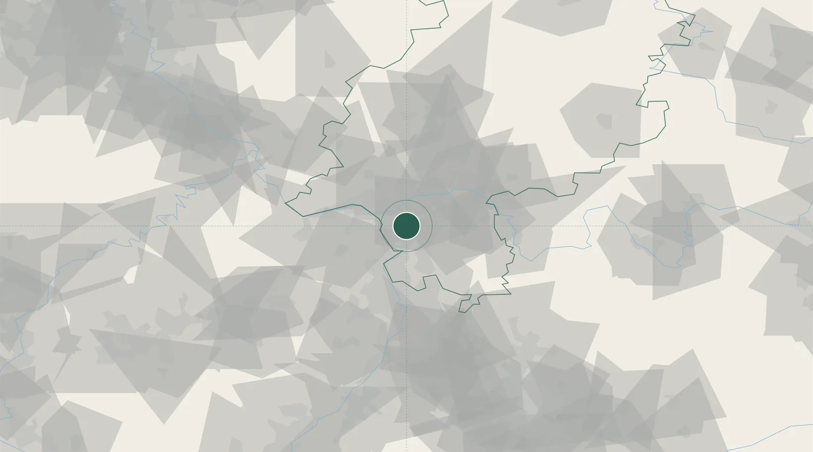
Hub Profile
Place type
District seat
Region
Hesse
Population
23,641
Time zone
Europe/Berlin
Elevation
95 m
Location
Nearby Logistics Neighbours
Cities
- 1Lorzweiler4 km
- 2Rüsselsheim9 km
- 3Riedstadt9 km
- 4Erzhausen10 km
- 5Bischofsheim13 km
Airports
- 1Frankfurt-Egelsbach Airport11 km
- 2Frankfurt Main Airport13 km
- 3Wiesbaden Army Airfield19 km
- 4Mainz-Finthen Airfield26 km
- 5Mannheim-City Airport49 km
Trade Zones
- 1ZFU La Cité Behren-lès-Forbach141 km
- 2ZFU Hautepierre158 km
- 3ZFU Neuhof162 km
- 4Luxembourg Free Port166 km
- 5Rheinische Revier SWZ186 km
DatabookThe Record of Consolidated Knowledge
Germany beyond logistics?