Transport Functions
Rail
Road
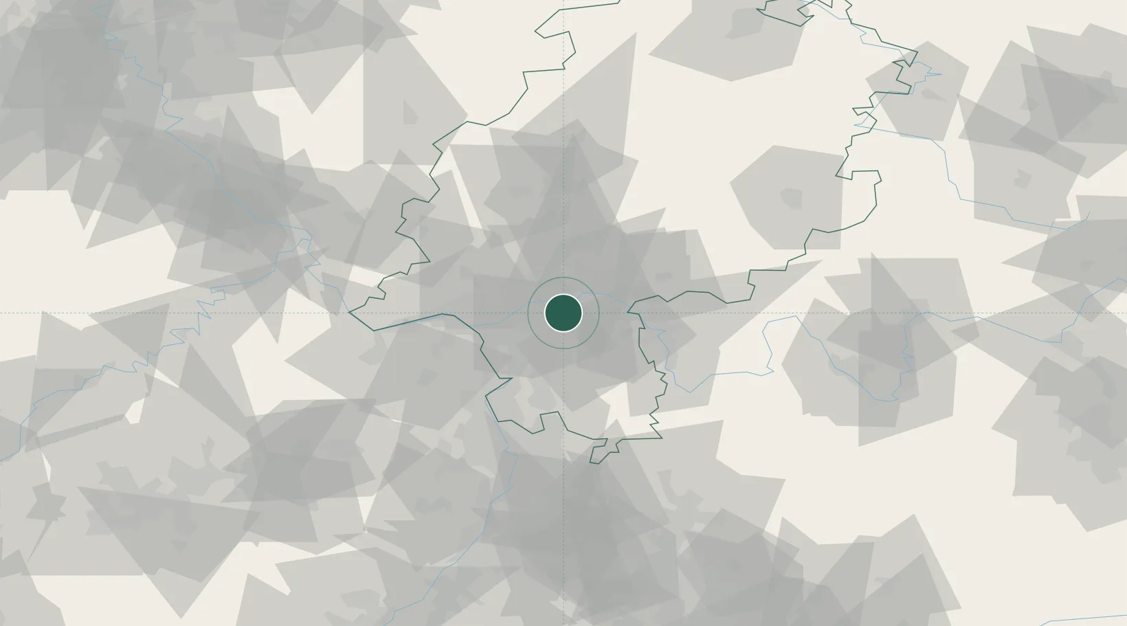
Hub Profile
Place type
Populated place
Region
Hesse
Population
35,293
Time zone
Europe/Berlin
Elevation
127 m
Location
Nearby Logistics Neighbours
Cities
- 1Frankfurt am Main7 km
- 2Offenbach7 km
- 3Mühlheim am Main12 km
- 4Höchst12 km
- 5Erzhausen12 km
Airports
- 1Frankfurt Main Airport10 km
- 2Frankfurt-Egelsbach Airport11 km
- 3Wiesbaden Army Airfield27 km
- 4Mainz-Finthen Airfield41 km
- 5Mannheim-City Airport66 km
Trade Zones
- 1ZFU La Cité Behren-lès-Forbach161 km
- 2ZFU Hautepierre178 km
- 3ZFU Neuhof181 km
- 4Luxembourg Free Port183 km
- 5Rheinische Revier SWZ190 km
DatabookThe Record of Consolidated Knowledge
Germany beyond logistics?