Transport Functions
Rail
Road
Hub Profile
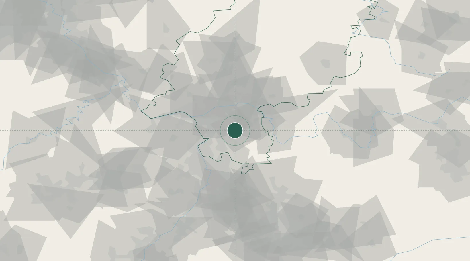
Place type
Local administrative seat
Region
Hesse
Population
12,199
Time zone
Europe/Berlin
Elevation
186 m
Location
Nearby Logistics Neighbours
Cities
- 1Ober Ramstadt4 km
- 2Gross-Zimmern6 km
- 3Fischbachtal10 km
- 4Otzberg10 km
- 5Lengfeld11 km
Airports
- 1Frankfurt-Egelsbach Airport14 km
- 2Frankfurt Main Airport24 km
- 3Wiesbaden Army Airfield38 km
- 4Mainz-Finthen Airfield45 km
- 5Mannheim-City Airport45 km
Trade Zones
- 1ZFU La Cité Behren-lès-Forbach152 km
- 2ZFU Hautepierre159 km
- 3ZFU Neuhof162 km
- 4Luxembourg Free Port183 km
- 5ZFU Woippy-Metz203 km
DatabookThe Record of Consolidated Knowledge
Germany beyond logistics?