Transport Functions
Port
Rail
Road
Hub Profile
Region
HE
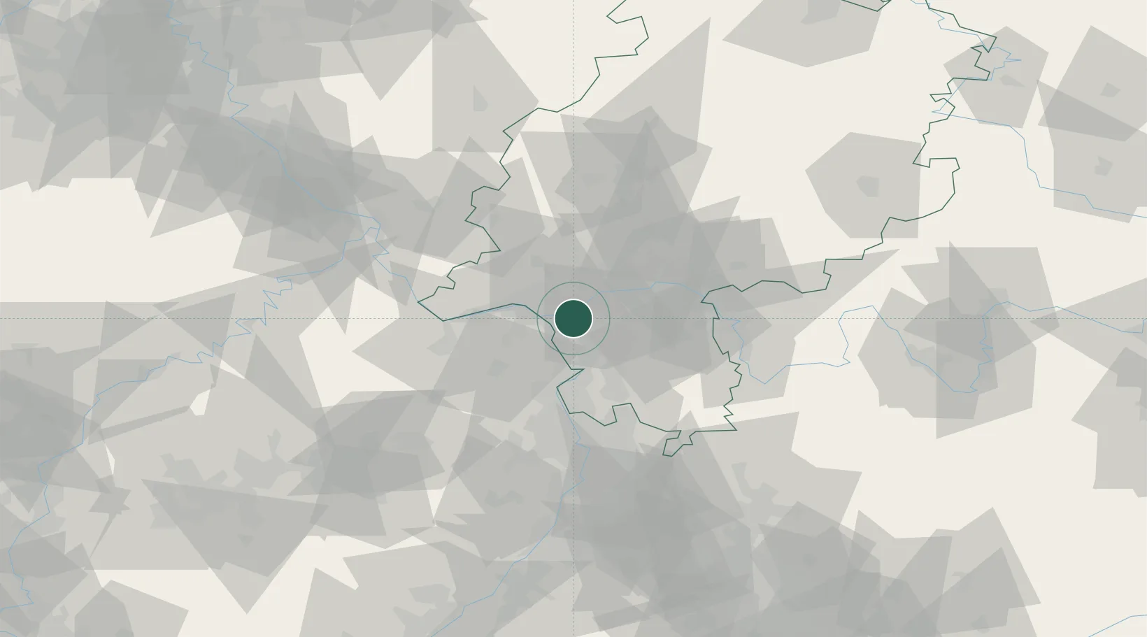
Location
Nearby Logistics Neighbours
Cities
- 1Bischofsheim5 km
- 2Gross-Gerau9 km
- 3Mainz-Kostheim10 km
- 4Hattersheim10 km
- 5Mainz Kastel11 km
Airports
- 1Frankfurt Main Airport10 km
- 2Wiesbaden Army Airfield11 km
- 3Frankfurt-Egelsbach Airport15 km
- 4Mainz-Finthen Airfield21 km
- 5Mannheim-City Airport57 km
Trade Zones
- 1ZFU La Cité Behren-lès-Forbach142 km
- 2Luxembourg Free Port163 km
- 3ZFU Hautepierre164 km
- 4ZFU Neuhof168 km
- 5Rheinische Revier SWZ178 km
DatabookThe Record of Consolidated Knowledge
Germany beyond logistics?