Transport Functions
Multimodal
Hub Profile
Place type
Populated place
Region
England
Time zone
Europe/London
Elevation
22 m
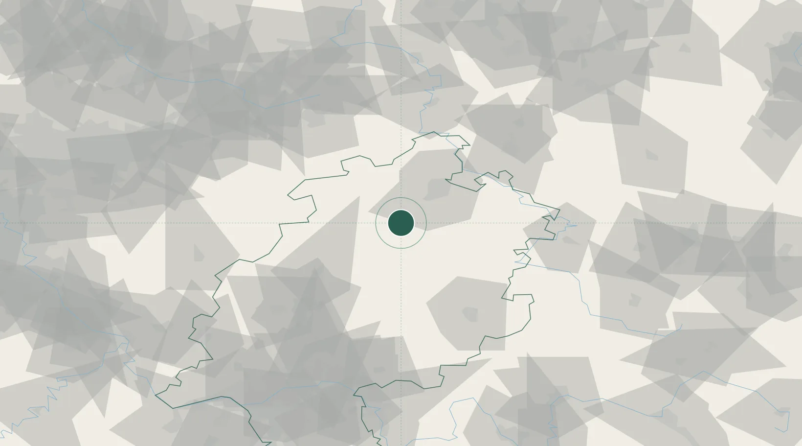
Location
Nearby Logistics Neighbours
Cities
- 1Wabern5 km
- 2Borken6 km
- 3Felsberg11 km
- 4Gudensberg12 km
- 5Frielendorf14 km
Airports
- 1Fritzlar Army Airfield2 km
- 2Kassel Airport37 km
- 3Paderborn Lippstadt Airport73 km
- 4Eisenach-Kindel Airport86 km
- 5Siegerland Airport94 km
Trade Zones
- 1Freeport of Duisburg190 km
- 2Rheinische Revier SWZ203 km
- 3Freeport of Bremerhaven (Freihafen Bremerhaven)224 km
- 4Luxembourg Free Port270 km
- 5ZFU La Cité Behren-lès-Forbach272 km
DatabookThe Record of Consolidated Knowledge
United Kingdom beyond logistics?