Transport Functions
Port
Rail
Road
Hub Profile
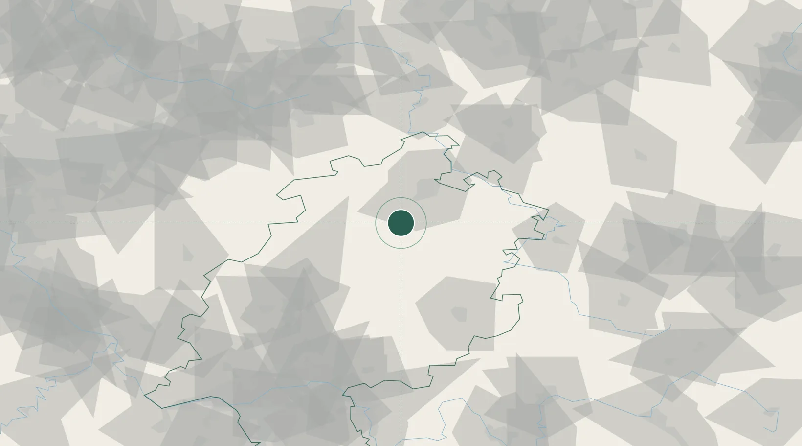
Place type
Local administrative seat
Region
Hesse
Population
7,708
Time zone
Europe/Berlin
Elevation
165 m
Location
Nearby Logistics Neighbours
Cities
- 1Bilsington5 km
- 2Borken7 km
- 3Felsberg7 km
- 4Gudensberg10 km
- 5Frielendorf13 km
Airports
- 1Fritzlar Army Airfield4 km
- 2Kassel Airport36 km
- 3Paderborn Lippstadt Airport76 km
- 4Eisenach-Kindel Airport81 km
- 5Siegerland Airport98 km
Trade Zones
- 1Freeport of Duisburg195 km
- 2Rheinische Revier SWZ208 km
- 3Freeport of Bremerhaven (Freihafen Bremerhaven)225 km
- 4Luxembourg Free Port274 km
- 5ZFU La Cité Behren-lès-Forbach275 km
DatabookThe Record of Consolidated Knowledge
Germany beyond logistics?